Waterrock Knob Visitor Center (Milepost 451.2)
Facility · North Carolina ·
Managed by the National Park Service
Blue Ridge Parkway (Parkway) · Restricted Access
- 5,826 ft
- Elevation
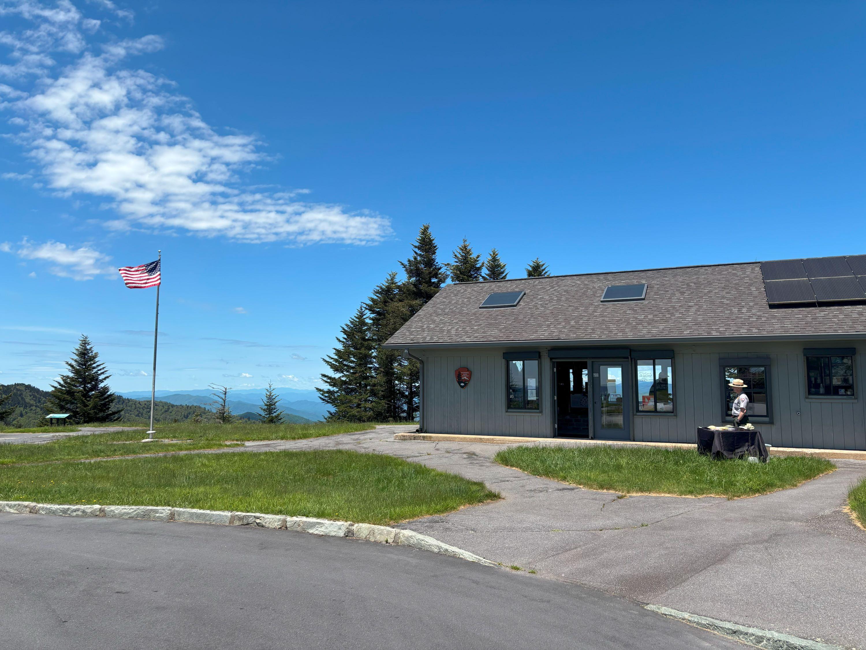
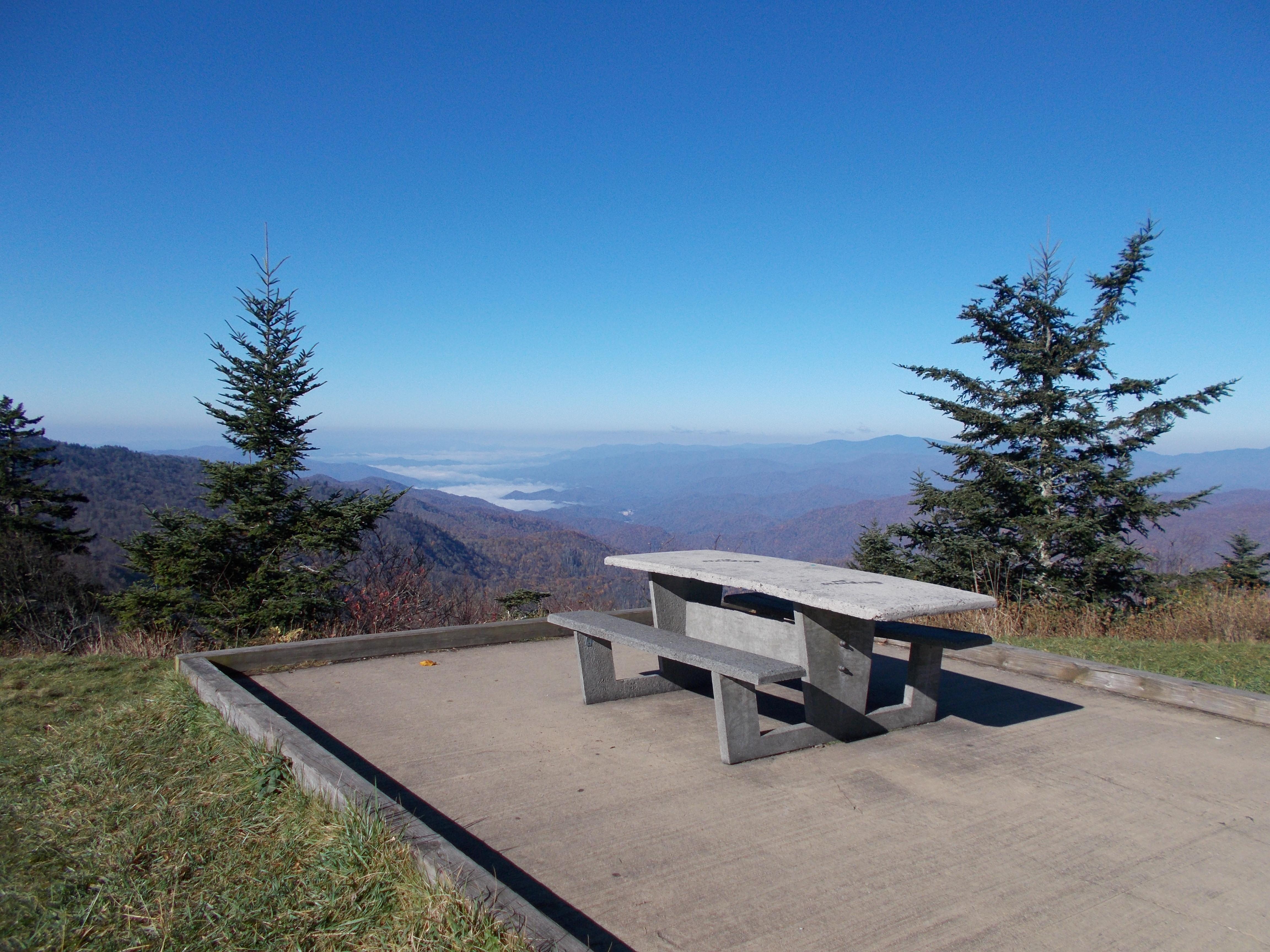
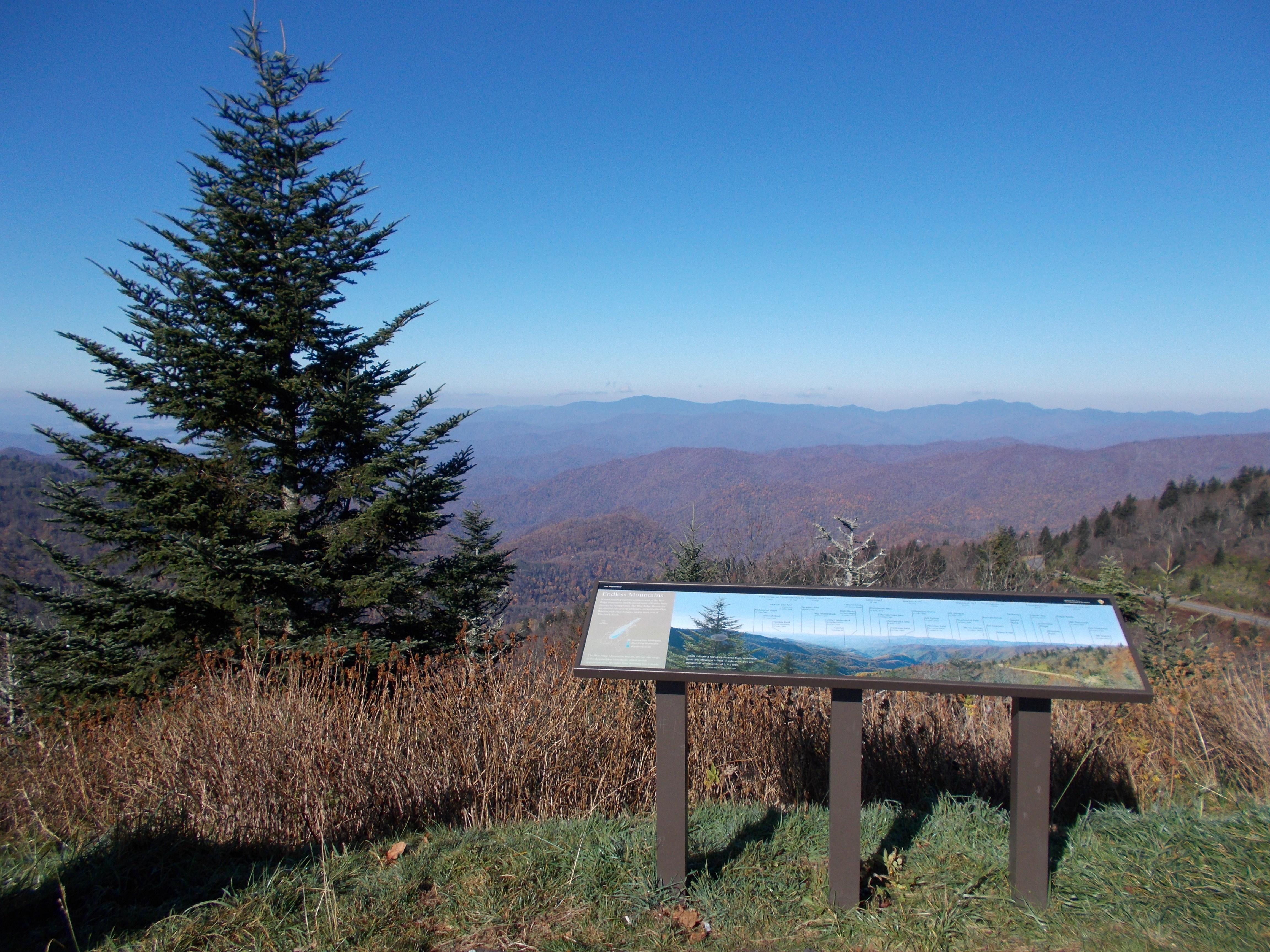
Waterrock Knob is our highest elevation visitor center on the Parkway. Known for its beautiful long-range views of several major mountain chains in the Appalachians, Waterrock Knob is uniquely suited for viewing sunrises and sunsets. The small visitor center introduces visitors to the area's rugged terrain and tremendous scenic resources, including the Great Smoky Mountains that are visible from here.
Getting there
From Balsam Gap (MP 443), 7 miles south of Waynesville, NC or 12 miles north of Sylva, NC, on US-23/75, enter onto the Parkway, heading Parkway south, for about 8 miles. Turn right on the access road (MP 451). If you are coming from the south, near Maggie Valley or Cherokee, Waterrock Knob is about 4 miles north of Soco Gap (MP 455).
35.46019, -83.14102 · 35°27'36.7"N 83°8'27.7"W
Typical weather
| Jan | Feb | Mar | Apr | May | Jun | Jul | Aug | Sep | Oct | Nov | Dec | |
|---|---|---|---|---|---|---|---|---|---|---|---|---|
| High °F | — | — | — | — | — | — | — | — | — | — | — | — |
| Low °F | — | — | — | — | — | — | — | — | — | — | — | — |
| Precip in | 5.2 | 5.2 | 5.9 | 5.1 | 4.7 | 4.9 | 6.7 | 4.3 | 4.5 | 3.5 | 4.6 | 5.3 |
1991–2020 averages from the nearest NOAA station, 6.7 mi away — not measured at the facility itself, and elevation can make a real difference over that distance.
Map
More photos
Member photos
Common questions about Waterrock Knob Visitor Center (Milepost 451.2)
- Can you reserve a site at Waterrock Knob Visitor Center (Milepost 451.2)?
- No. Waterrock Knob Visitor Center (Milepost 451.2) is not reservable through Recreation.gov, so sites are first-come, first-served or booked elsewhere.
Camping near Waterrock Knob Visitor Center (Milepost 451.2)
- Balsam Mountain Campground 7.5 mi · Campground · we watch it
- Tow String Horse Camp 10.3 mi · Campground · we watch it
- Round Bottom Horse Camp 11.4 mi · Campground · we watch it
- Smokemont Campground 11.7 mi · Campground · we watch it
- Cataloochee Horse Camp 11.7 mi · Campground · we watch it
- Smokemont Group Camp 11.9 mi · Campground · we watch it
- Cataloochee Campground 12.2 mi · Campground · we watch it
- Sunburst 12.7 mi · Campground · we watch it
- Collins Creek Picnic Pavilion 13.1 mi · Campground · we watch it
- Cataloochee Group Camp 13.7 mi · Campground · we watch it
- Balsam Mt. Campground 7.5 mi · Campground
- Oconaluftee Visitor Center 10 mi · Facility
Contact
- Phone (828) 348-3400
- Email blri_info@nps.gov
- Info Recreation.gov
Recreation.gov last updated this record on 2026-04-15.
Facility information and photographs from Recreation.gov (RIDB). SpotOpened is not affiliated with Recreation.gov or any federal agency.
Comments