Harmon Den Campground
Campground · North Carolina · 22 bookable sites ·
Managed by the USDA Forest Service
Pisgah National Forest (NF) · Open Access
- 22
- Bookable sites
- 30 ft
- Max rig length
- up to 9
- People per site
- 2,895 ft
- Elevation
Overview
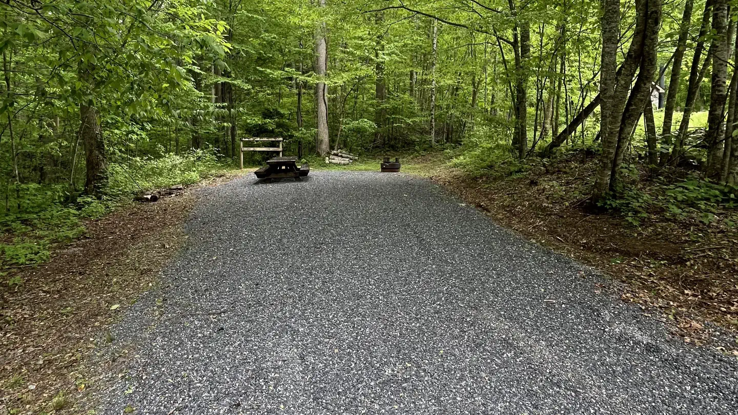
Harmon Den Campground is nestled on a mountainside beneath a forest of mixed hardwoods in the Pisgah National Forest. The camp is in a secluded area off of Cold Springs rd. in Haywood County, and the individual sites provide ample privacy.
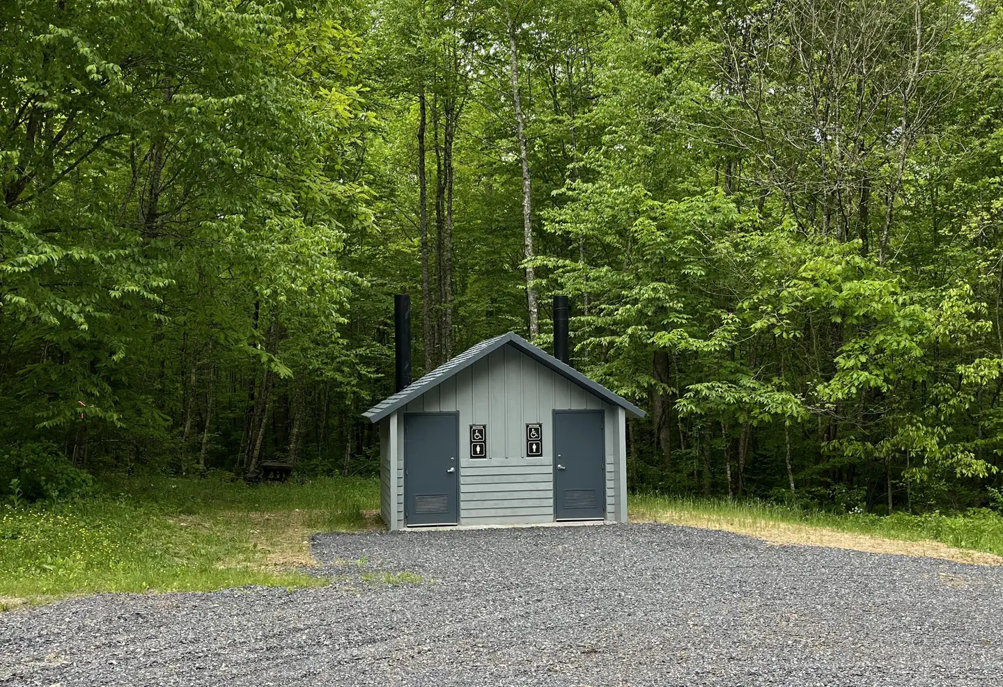
The upper loop is reserved for horse campers while the lower loop is reserved for tent camping and small trailers. There are no hookups, no dump station, and no drinking water at this time. There is a vault toilet facility for each camping loop as well as bear-proof garbage cans. The area trails are horse and hiking use only, NO bikes.
The campground is an ideal base for exploring the miles of nearby trails and enjoying the beautiful mountain scenery, with nearby access to I-40, Max Patch, and Hot Springs, NC
Recreation
Local attractions include more than 14 miles of trails designated for hiking and horseback riding and about 40 miles for hiking. Equestrians may ride other open
roads unless signed closed to horses with caution due to traffic during busy recreational seasons.
Trails include the 5.4-mile Buckeye Ridge, 2.6-mile Cherry Ridge, 2.5 mile Robert Gap and 3.6-mile Cold Springs Trails. Hunting and fishing are other popular activities in the area.
Facilities
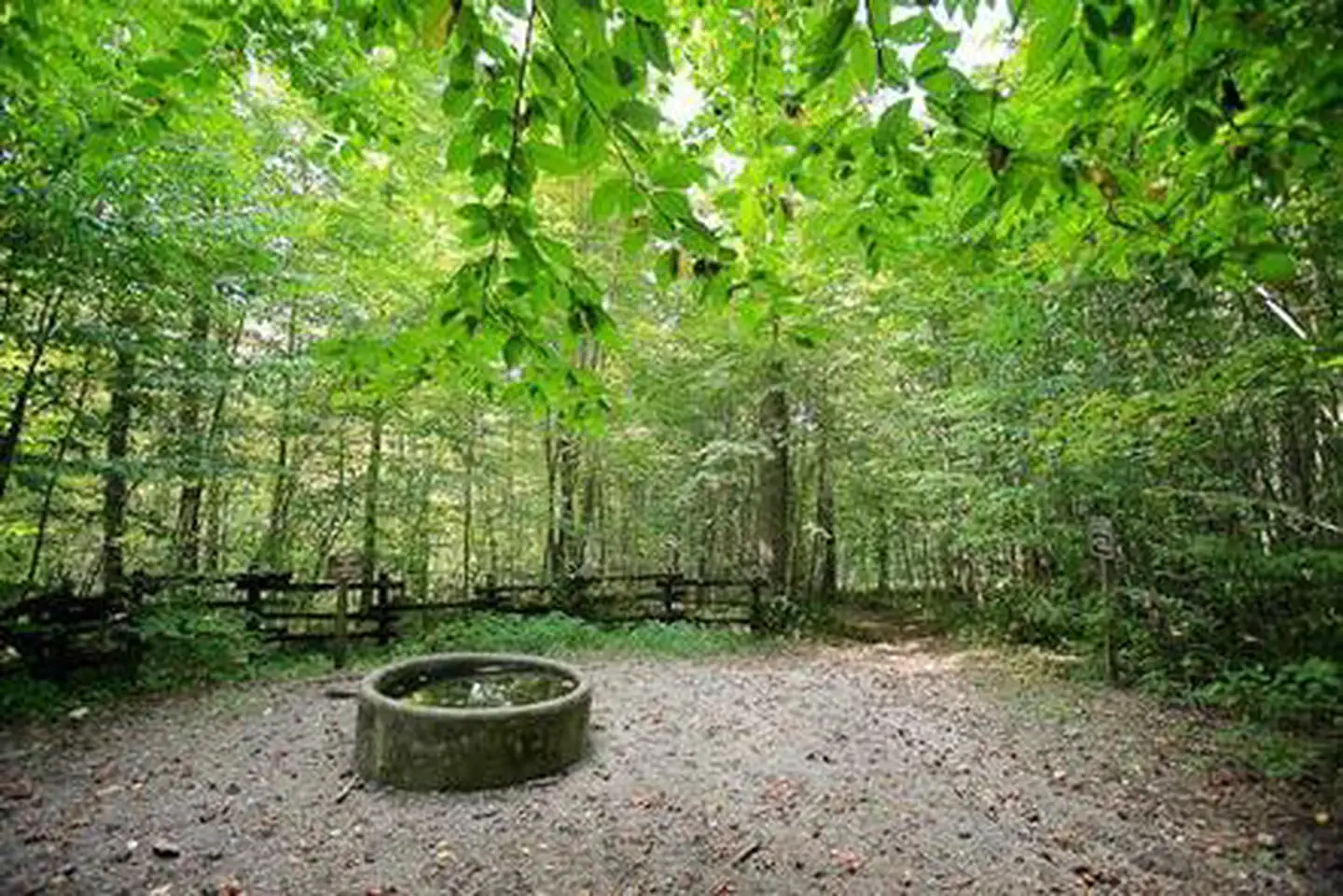
Harmon Den Campground has an upper loop for Horse campers and a lower loop for tent or dry trailer campers. Facilities provided include horse stalls and mangers that accommodate a maximum of 4 horses and 8 people at each site with a picnic table, tent pad, lantern post, fire ring and parking for a single vehicle with horse trailer. Also located within the campground are 2 vault toilets, a self-service livestock manure station and watering tank (non-potable) for livestock.
Natural Features
The Harmon Den Area is located on the Appalachian Ranger District, an area that stretches westward from the Great Smoky Mountain National Park's eastern boundary to Craggy Gardens on the Blue Ridge Parkway to Roan Mountain near Tennessee. Elevations range from 1,900 feet at Max Patch to 6,684 feet at Mount Mitchell. Visitors to the area will find waterfalls, lush forest undergrowth, forested peaks and miles of cold mountain streams. Wildlife in the area include bear, deer, grouse and wild turkey.Nearby Attractions
Great Smoky Mountains National Park makes an ideal day trip from Harmon Den. Max Patch is an open bald area with panaramic views and other trials for hiking include the Appalachian Trail, Cherry Creek and Groundhog Creek.The facts
- 22 bookable sites
- Vehicles up to 30 ft
- Up to 9 people per site
- Loops: Lower, Upper
Site types
- 13 Equestrian Nonelectric
- 9 Standard Nonelectric
Amenities
- Shade
- Pets allowed
- Water hookups — not available
Not recorded upstream: electric hookups, sewer hookups, campfires allowed, fire pits, picnic tables, grills.
22 campsites at Harmon Den Campground
| Site | Loop | Type | Entry | Surface | Max rig | People | |
|---|---|---|---|---|---|---|---|
| T15 | Lower | Standard Nonelectric | Back In | Gravel | 30 ft | 9 | 🐾 |
| T16 | Lower | Standard Nonelectric | Back In | Gravel | 30 ft | 9 | 🐾 |
| T17 | Lower | Standard Nonelectric | Back In | Gravel | 30 ft | 9 | 🐾 |
| T18 | Lower | Standard Nonelectric | Back In | Gravel | 30 ft | 9 | 🐾 |
| T19 | Lower | Standard Nonelectric | Back In | Gravel | 30 ft | 9 | 🐾 |
| T20 | Lower | Standard Nonelectric | Back In | Gravel | 30 ft | 9 | 🐾 |
| T21 | Lower | Standard Nonelectric | Back In | Gravel | 30 ft | 9 | 🐾 |
| T22 | Lower | Standard Nonelectric | Back In | Gravel | 30 ft | 9 | 🐾 |
| T23 | Lower | Standard Nonelectric | Back In | Gravel | 30 ft | 9 | 🐾 |
| HD01 | Upper | Equestrian Nonelectric | Back In | Gravel | 30 ft | 8 | 🐾 |
| HD02 | Upper | Equestrian Nonelectric | Back In | Gravel | 30 ft | 8 | 🐾 |
| HD03 | Upper | Equestrian Nonelectric | Back In | Gravel | 30 ft | 8 | 🐾 |
| HD05 | Upper | Equestrian Nonelectric | Back In | Gravel | 30 ft | 8 | 🐾 |
| HD06 | Upper | Equestrian Nonelectric | Back In | Gravel | 30 ft | 8 | |
| HD07 | Upper | Equestrian Nonelectric | Back In | Gravel | 30 ft | 8 | |
| HD08 | Upper | Equestrian Nonelectric | Back In | Gravel | 30 ft | 8 | |
| HD09 | Upper | Equestrian Nonelectric | Back In | Gravel | 30 ft | 8 | |
| HD10 | Upper | Equestrian Nonelectric | Back In | Gravel | 30 ft | 8 | |
| HD11 | Upper | Equestrian Nonelectric | Back In | Gravel | 30 ft | 8 | |
| HD12 | Upper | Equestrian Nonelectric | Back In | Gravel | 30 ft | 8 | |
| HD13 | Upper | Equestrian Nonelectric | Back In | Gravel | 30 ft | 8 | |
| HD14 | Upper | Equestrian Nonelectric | Back In | Gravel | 30 ft | 8 |
Getting there
35.75861, -82.97667 · 35°45'31.0"N 82°58'36.0"W
Typical weather
Typically 86°F in Jul, down to 49°F in Jan.
| Jan | Feb | Mar | Apr | May | Jun | Jul | Aug | Sep | Oct | Nov | Dec | |
|---|---|---|---|---|---|---|---|---|---|---|---|---|
| High °F | 49 | 53 | 61 | 71 | 77 | 83 | 86 | 85 | 80 | 70 | 60 | 51 |
| Low °F | 29 | 32 | 38 | 46 | 54 | 62 | 65 | 64 | 59 | 48 | 37 | 32 |
| Precip in | 4.2 | 3.9 | 4.7 | 4.5 | 4.6 | 6.4 | 6.5 | 4.6 | 4.0 | 2.7 | 3.4 | 4.4 |
1991–2020 averages from the nearest NOAA station, 7 mi away — not measured at the facility itself, and elevation can make a real difference over that distance.
Map
More photos
Member photos
Common questions about Harmon Den Campground
- Can you reserve a site at Harmon Den Campground?
- Yes, Harmon Den Campground is reservable through Recreation.gov.
- How many campsites does Harmon Den Campground have?
- 22 sites.
- What is the maximum RV length at Harmon Den Campground?
- 30 ft. That is the longest vehicle the sites here are recorded as taking; individual sites may be shorter.
- Are pets allowed at Harmon Den Campground?
- Yes, pets are allowed at Harmon Den Campground.
- Does Harmon Den Campground have hookups?
- No hookups are recorded here.
Camping near Harmon Den Campground
- Round Mountain Campground 5.7 mi · Campground · we watch it
- Big Creek Horse Camp 7.3 mi · Campground · we watch it
- Big Creek Group Camp 7.4 mi · Campground · we watch it
- Big Creek Campground (Great Smoky Mountains National Park) 7.6 mi · Campground · we watch it
- Cataloochee Group Camp 9.2 mi · Campground · we watch it
- Rocky Bluff Campground 10.2 mi · Campground · we watch it
- Cataloochee Campground 10.7 mi · Campground · we watch it
- Cataloochee Horse Camp 11.9 mi · Campground · we watch it
- Pigeon River 8.1 mi · Facility
- Pigeon River Area 9 mi · Facility
- Rocky Bluff Campground 10.2 mi · Facility
- French Broad River 11.3 mi · Facility
Contact
- Phone 828-689-9694
- Book Recreation.gov
Recreation.gov last updated this record on 2026-02-25.
Facility information and photographs from Recreation.gov (RIDB). SpotOpened is not affiliated with Recreation.gov or any federal agency.
Comments