Bledsoe Ferry
Campground · Missouri · 4 bookable sites ·
Managed by the US Army Corps of Engineers
Harry Truman Recreation Area (Recreation Area) · Open Access
- 4
- Bookable sites
- 60 ft
- Max rig length
- up to 48
- People per site
- 4
- Accessible sites
- 673 ft
- Elevation
Overview
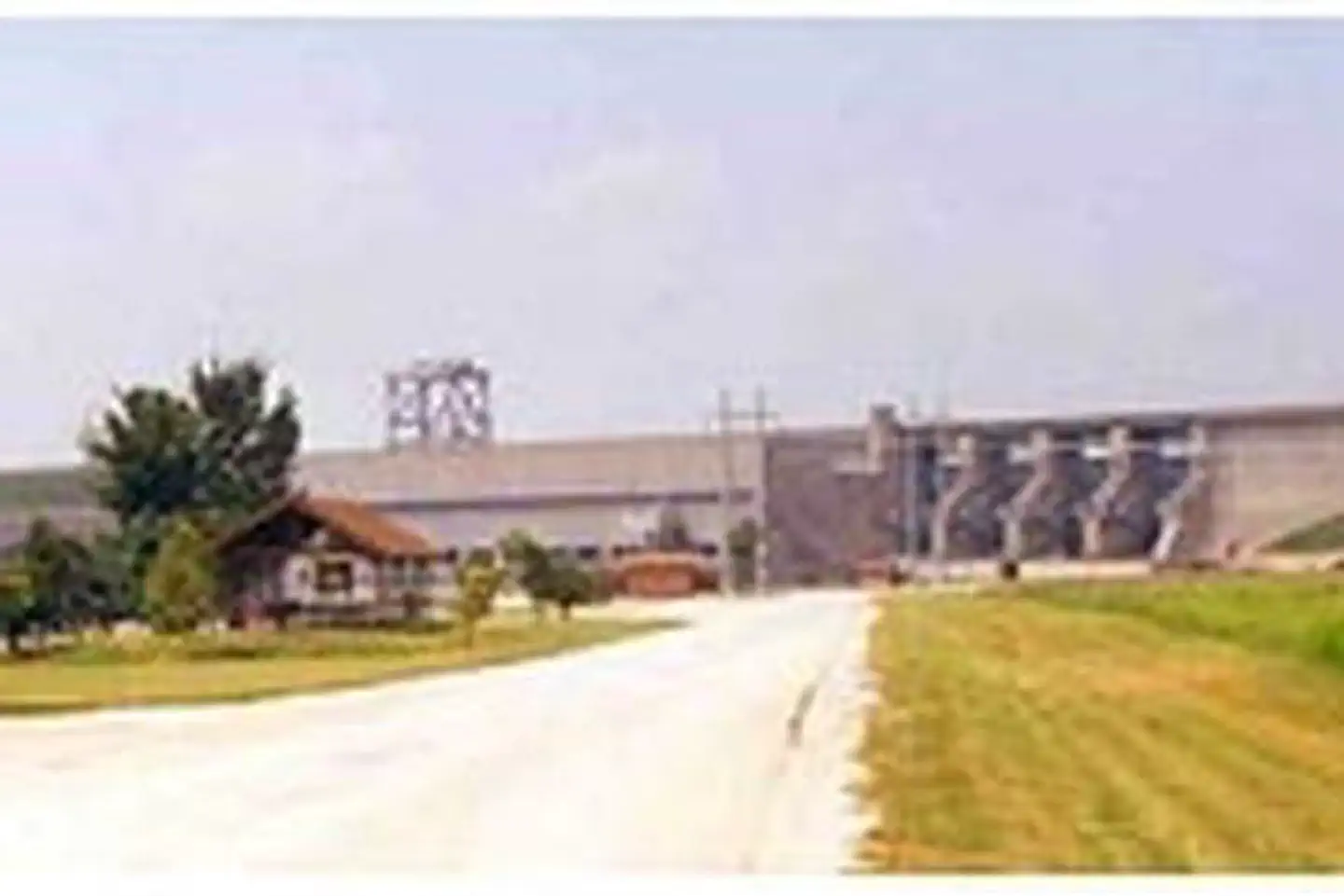
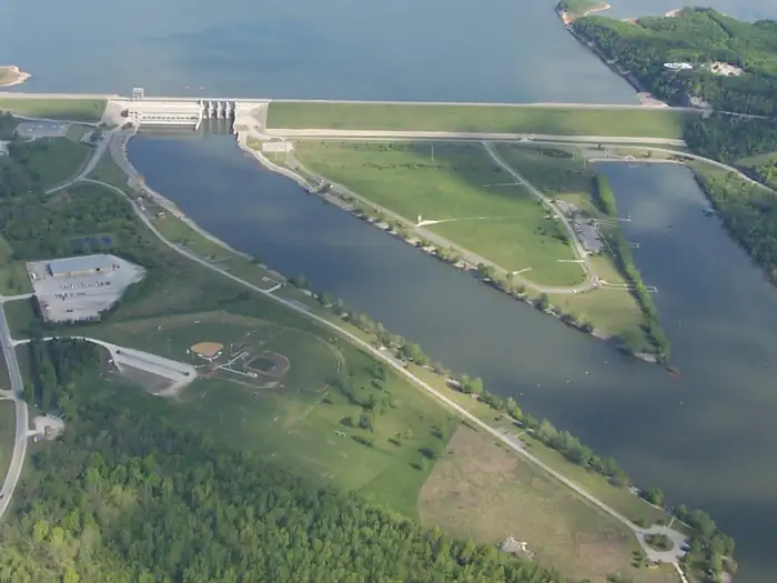
Bledsoe Ferry Park sits below Harry S. Truman Dam in the hills of western Missouri.
Visitors enjoy fishing, hunting, swimming and boating.
Click here for the Harry S. Truman Lake virtual tour.
Recreation
Bledsoe Ferry is an excellent fishing location. Anglers find crappie, largemouth bass and blue and flathead catfish. Truman Lake is also a popular destination for tournament fishermen.
The park also offers an excellent location to view the Harry S Truman Dam and one of the few Class A Visitor Centers.
Facilities
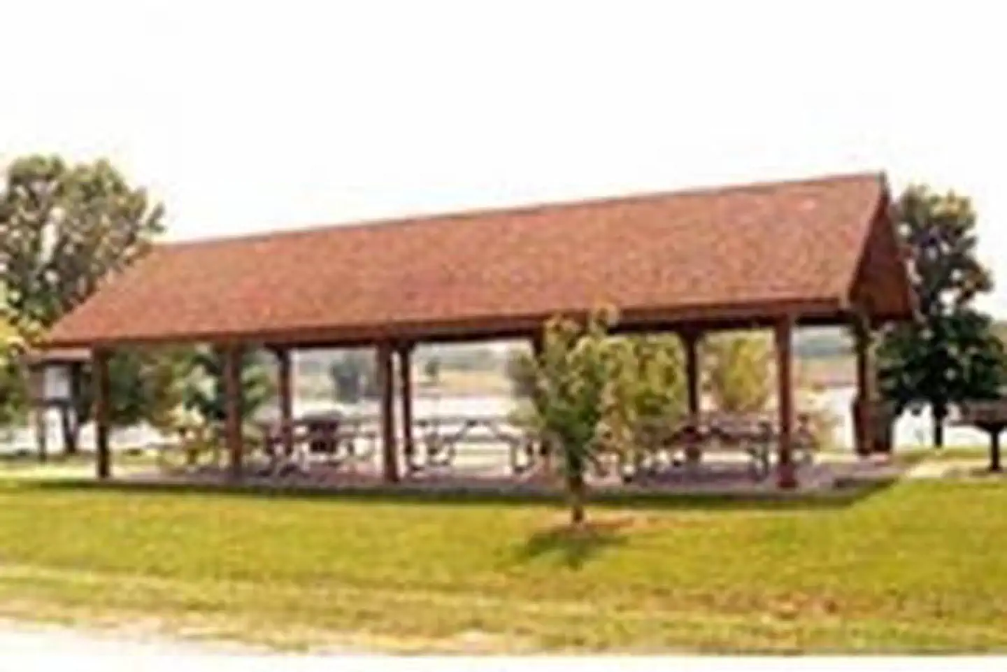
This year-round day-use area contains four large picnic shelters. Amenities include flush and pit toilets, drinking water, an accessible boat ramp and fishing docks.
Natural Features
Harry S Truman Reservoir lies among the rolling hills and rocky bluffs of the Ozark Plateau. Mature hardwoods of Oak and Hickory with cedar trees mixed in cover the area.
Wildlife such as whitetail deer, turkey, hawks, ospreys, eagles, and many different water birds can be found in and around the park.
An abundance of fish such as crappie, bass, walleye, paddlefish, blue and channel catfish can also be found in Harry S Truman Reservoir. Approximately 8,800 acres of standing timber were left in the lake to provide quality aquatic habitat.
Nearby Attractions
The 950 miles of shoreline around Truman Lake provide plentiful opportunities for fun in the outdoors. Many parks surround the lake, including Harry S. Truman State Park.The Harry S. Truman Visitor Center sits atop Kaysinger Bluff and provides a spectacular view of the dam and reservoir. Exhibits provide information about the rich history of the Osage River Valley from pre-civilization to modern day. Waterfowl, bald eagles and turkey vultures are commonly seen from the observation deck.
The facts
- 4 bookable sites
- 4 sites for day use only
- 4 accessible sites
- Vehicles up to 60 ft
- Up to 48 people per site
- Loops: BFEW
Site types
- 4 Group Shelter Nonelectric
Amenities
- Shade
- Pets allowed
Not recorded upstream: electric hookups, water hookups, sewer hookups, campfires allowed, fire pits, picnic tables, grills.
4 campsites at Bledsoe Ferry
| Site | Loop | Type | Entry | Surface | Water | Max rig | People | |
|---|---|---|---|---|---|---|---|---|
| 1 | BFEW | Group Shelter Nonelectric | — | — | Riverfront | 60 ft | 48 | ♿ 🐾 |
| 2 | BFEW | Group Shelter Nonelectric | — | — | — | 60 ft | 48 | ♿ 🐾 |
| 3 | BFEW | Group Shelter Nonelectric | — | — | — | 60 ft | 48 | ♿ 🐾 |
| 4 | BFEW | Group Shelter Nonelectric | — | — | — | 60 ft | 30 | ♿ 🐾 |
Getting there
38.26194, -93.39778 · 38°15'43.0"N 93°23'52.0"W
Typical weather
Typically 90°F in Jul, down to 43°F in Jan.
| Jan | Feb | Mar | Apr | May | Jun | Jul | Aug | Sep | Oct | Nov | Dec | |
|---|---|---|---|---|---|---|---|---|---|---|---|---|
| High °F | 43 | 47 | 57 | 68 | 76 | 85 | 90 | 89 | 82 | 70 | 57 | 46 |
| Low °F | 22 | 25 | 34 | 44 | 55 | 65 | 69 | 67 | 59 | 46 | 36 | 27 |
| Precip in | 1.8 | 2.1 | 3.0 | 4.6 | 5.5 | 5.2 | 4.7 | 4.0 | 4.1 | 3.5 | 3.1 | 2.0 |
1991–2020 averages from the nearest NOAA station, 0.9 mi away — not measured at the facility itself, and elevation can make a real difference over that distance.
Map
More photos
Member photos
Common questions about Bledsoe Ferry
- Can you reserve a site at Bledsoe Ferry?
- Yes, Bledsoe Ferry is reservable through Recreation.gov.
- How many campsites does Bledsoe Ferry have?
- 4 sites.
- What is the maximum RV length at Bledsoe Ferry?
- 60 ft. That is the longest vehicle the sites here are recorded as taking; individual sites may be shorter.
- Are pets allowed at Bledsoe Ferry?
- Yes, pets are allowed at Bledsoe Ferry.
Camping near Bledsoe Ferry
- Shawnee Bend 1.3 mi · Campground · we watch it
- Thibaut Point 2.4 mi · Campground · we watch it
- Long Shoal 4 mi · Campground · we watch it
- Osage Bluff 4.9 mi · Campground · we watch it
- Berry Bend 7.5 mi · Campground · we watch it
- Bucksaw 11.3 mi · Campground · we watch it
- Sparrowfoot 18 mi · Campground · we watch it
- Bledsoe Ferry Boat Ramp 0.1 mi · Activity pass
- Osage Bluff Boat Ramp 5.7 mi · Activity pass
- Berry Bend Boat Ramp 7.4 mi · Activity pass
- Fairfield Boat Ramp 8.3 mi · Activity pass
- Windsor Crossing Boat Ramp 10.6 mi · Activity pass
Contact
- Phone 660-438-7317
- Book Recreation.gov
Recreation.gov last updated this record on 2026-02-25.
Facility information and photographs from Recreation.gov (RIDB). SpotOpened is not affiliated with Recreation.gov or any federal agency.
Comments