Voyageurs National Park Houseboat Permits
Permit · Minnesota ·
Managed by the National Park Service
Miscellaneous (Other Forest Land) · Open Access
- 1,117 ft
- Elevation
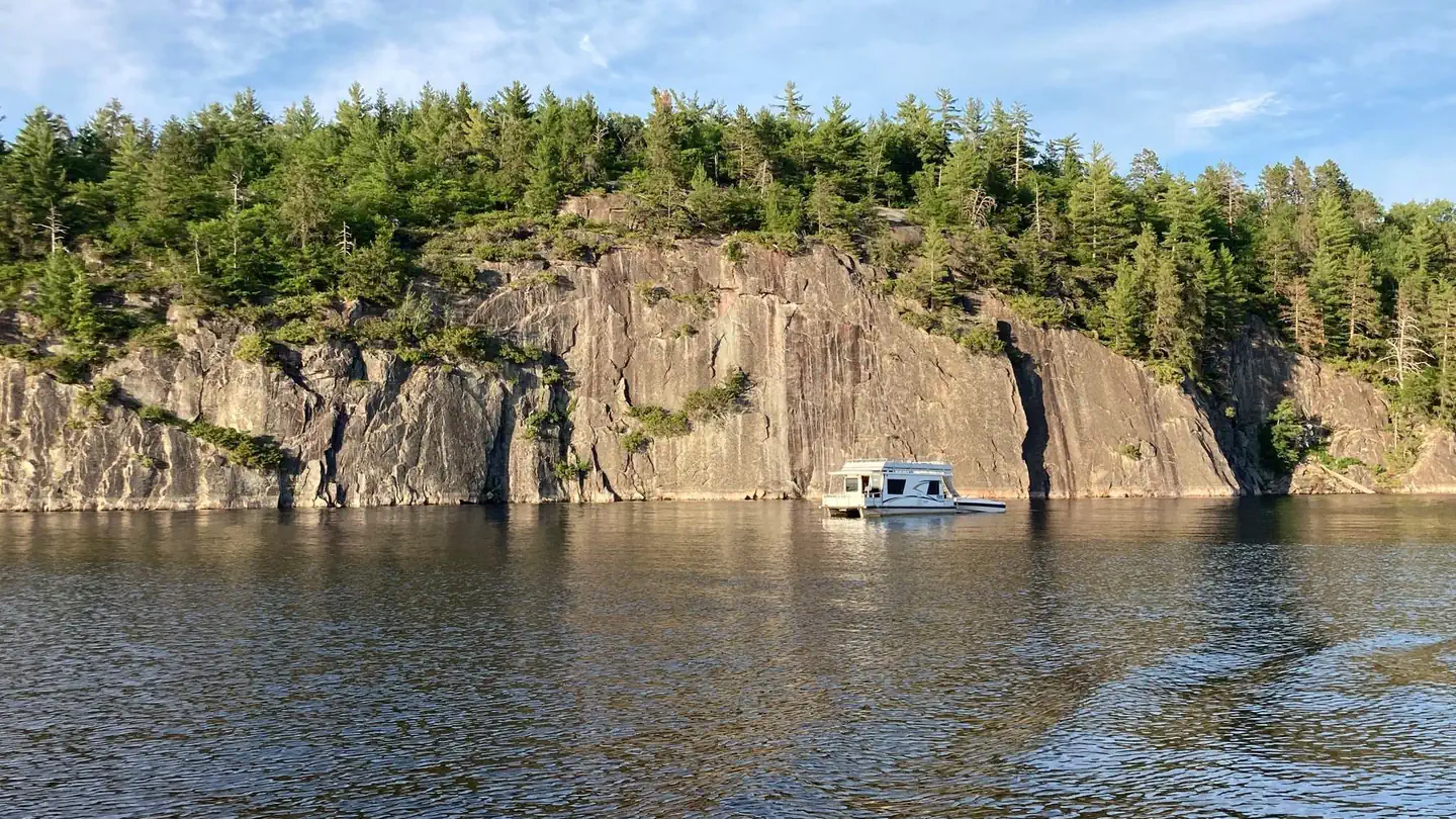
Overview:
Voyageurs National Park is a land and water environment of great beauty, exceptional natural and cultural resources, and abundant recreation opportunities. Located in the lake-country of northern Minnesota, the park protects 218,054 acres that include roughly 134,000 acres of forest, 84,000 acres of water, 655-miles of undeveloped shoreline, and hundreds of islands. The park's 55-mile northern boundary is the international border between the United States and Canada and includes an important segment of the "transcontinental highway" traversed by French-Canadian voyageurs during the late 1700s and early 1800s.The rocks tell the oldest story here. Lying in the southern portion of the Canadian Shield, the bedrock of Voyageurs National Park is 2.8 billion years old, some of the oldest exposed rock in the world. Younger rock formations do not appear here. Perhaps they never existed; but more likely a series of glaciers removed them. Those glaciers, more than a mile high, also scoured out the lake and river beds here and set the stage for vast forests.
Voyageurs is unique among national parks as a place where the southern boreal forest meets and mixes with the northern hardwood forest. Wildlife thrives here. Voyageurs is one of only two national parks in the continental United States with an indigenous population of the Eastern Timber Wolf.
Once visitors arrive at one of the park's four entry points, most of them leave their cars behind and set out by water, much as the Voyageurs did centuries ago. The park includes four major lakes - Rainy, Kabetogama, Namakan, and Sand Point, and twenty-six smaller inland lakes that together make up more than a third of the total park area. The smaller inland lakes are scattered throughout the park, but primarily on the Kabetogama Peninsula. The peninsula is Voyageurs' largest landmass and can be reached by water in summer or over the ice in winter.
There are four distinct seasons in Voyageur country. The air is temperate during June, July, and August when periods of fine, mild weather prevail. The frost-free season averages 120 days from June to mid-September. The average ice-out date is May 3 but varies year to year. Annual precipitation (rain and snow) averages 25-28 inches in the park and average snowfall ranges from 55-70 inches, but is highly variable. The first measurable snowfall occurs in late October and the last in late April or early May.
The park offers more than 52 miles of hiking trails, 110 miles of groomed snowmobile trails, 7 miles of groomed cross-country ski trails, and more than 290 designated campsites, houseboat sites, and day use sites.
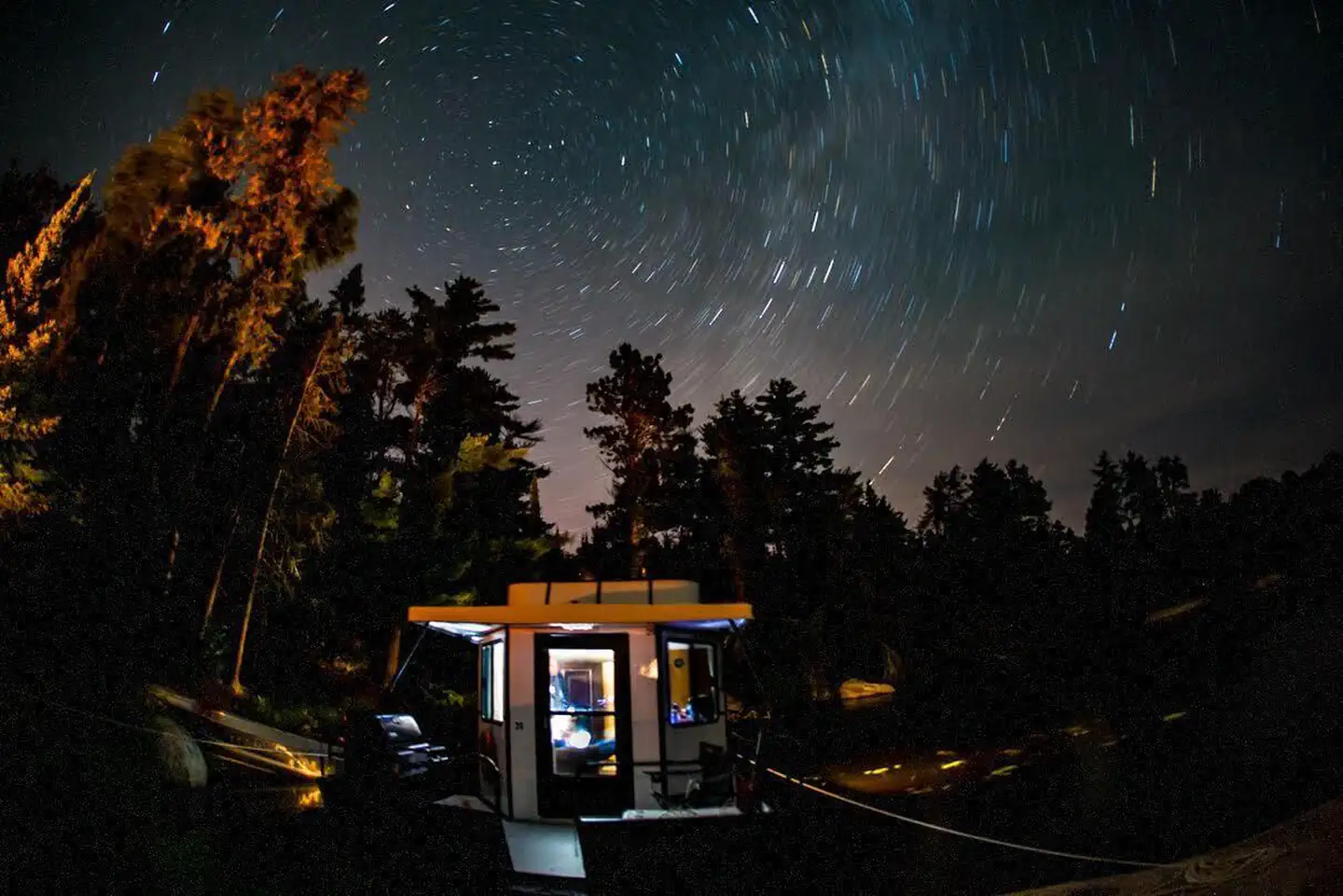
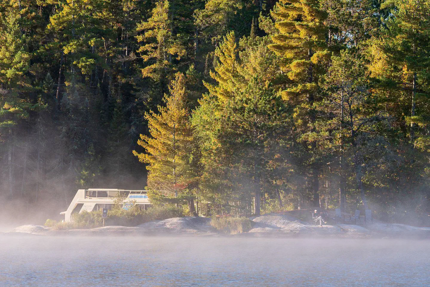
Houseboats staying overnight in the park from May 1 through October 31 are required to obtain an overnight permit from Recreation.gov. There is no permit needed for day use within the Park boundaries.
Keep Voyageurs National Park beautiful for future generations
Voyageurs National Park Association (VNPA) is the park's nonprofit partner representing a community of people who care about the ongoing stewardship of Voyageurs National Park. VNPA's mission is to connect people to Voyageurs, enhance the visitor experience, and protect the park for present and future generations. Become a member today, visit their website or Facebook to learn more about projects and upcoming events, or sign up for their e-newsletter.
Getting there
48.60278, -93.37683 · 48°36'10.0"N 93°22'36.6"W
Typical weather
Typically 78°F in Jul, down to 16°F in Jan.
| Jan | Feb | Mar | Apr | May | Jun | Jul | Aug | Sep | Oct | Nov | Dec | |
|---|---|---|---|---|---|---|---|---|---|---|---|---|
| High °F | 16 | 22 | 35 | 50 | 64 | 74 | 78 | 76 | 66 | 51 | 34 | 21 |
| Low °F | -6 | -3 | 12 | 26 | 38 | 48 | 52 | 50 | 42 | 31 | 18 | 3 |
| Precip in | 0.8 | 0.7 | 1.0 | 1.6 | 3.1 | 3.8 | 4.0 | 2.8 | 3.0 | 2.2 | 1.4 | 1.0 |
1991–2020 averages from the nearest NOAA station, 3 mi away — not measured at the facility itself, and elevation can make a real difference over that distance.
Map
Ways in
Showing 2 of 2.
- KNS — Houseboat
- RL — Houseboat
More photos
Member photos
Common questions about Voyageurs National Park Houseboat Permits
- Can you reserve a site at Voyageurs National Park Houseboat Permits?
- Yes, Voyageurs National Park Houseboat Permits is reservable through Recreation.gov.
Camping near Voyageurs National Park Houseboat Permits
- Voyageurs National Park Camping Permits less than 0.1 mi · Campground · we watch it
- Voyageurs National Park Tours 9.9 mi · Tickets · we watch it
- Voyageurs National Park Winter Equipment Rentals 26 mi · Tickets · we watch it
- Echo Lake (Minn) 50.4 mi · Campground · we watch it
- Rainy Lake Visitor Center 9.9 mi · Facility
- Kabetogama Lake Visitor Center 19.3 mi · Facility
- Ash River Visitor Center 26.7 mi · Facility
- Johnson Lake 41.7 mi · Campground
- Franklin Lake 41.9 mi · Campground
- Crane Lake Visitor Center 47 mi · Visitor Center
- Crane Lake 47.5 mi · Campground
- Myrtle Lake 49.2 mi · Campground
Contact
- Book Recreation.gov
Recreation.gov last updated this record on 2026-02-25.
Facility information and photographs from Recreation.gov (RIDB). SpotOpened is not affiliated with Recreation.gov or any federal agency.
Comments