Fort Charlotte Backcountry Campgrounds
Campground · Minnesota ·
Managed by the National Park Service
Grand Portage National Monument (National Monument) · Open Access
- 1,254 ft
- Elevation
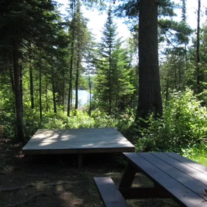
Two backcountry campsites, accessible to hikers and canoeists, are located at the Pigeon River (Canada/U.S. border) end of Grand Portage National Monument. Each campsite is limited to nine people. Camping permits are required and issued by the park. A permit system allows campers to reserve a campsite in advance. Allow a minimum of two weeks in advance for permit processing.
Getting there
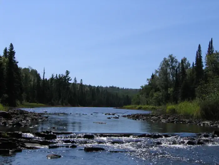
Fort Charlotte is reached by canoeing down the Pigeon River from South Fowl Lake or hiking up the Grand Portage footpath from the historic depot/heritage center area on Grand Portage Bay of Lake Superior. An alternative entry to the Grand Portage footpath can be accessed by driving up County Road 17 to the trailhead where Old Highway 61 intersects the portage.
48.00369, -89.82834 · 48°0'13.3"N 89°49'42.0"W
Typical weather
Typically 74°F in Jul, down to 20°F in Jan.
| Jan | Feb | Mar | Apr | May | Jun | Jul | Aug | Sep | Oct | Nov | Dec | |
|---|---|---|---|---|---|---|---|---|---|---|---|---|
| High °F | 20 | 24 | 34 | 45 | 58 | 68 | 74 | 73 | 65 | 51 | 38 | 26 |
| Low °F | 1 | 2 | 13 | 26 | 37 | 46 | 52 | 52 | 44 | 33 | 22 | 9 |
| Precip in | 1.4 | 1.0 | 1.3 | 2.8 | 3.1 | 3.6 | 3.4 | 3.0 | 3.1 | 3.4 | 2.6 | 1.7 |
1991–2020 averages from the nearest NOAA station, 6.7 mi away — not measured at the facility itself, and elevation can make a real difference over that distance.
Map
More photos
Member photos
Common questions about Fort Charlotte Backcountry Campgrounds
- Can you reserve a site at Fort Charlotte Backcountry Campgrounds?
- No. Fort Charlotte Backcountry Campgrounds is not reservable through Recreation.gov, so sites are first-come, first-served or booked elsewhere.
Camping near Fort Charlotte Backcountry Campgrounds
- East Bearskin Lake Campground 26.2 mi · Campground · we watch it
- Flour Lake Campground 27 mi · Campground · we watch it
- Heritage Center 7.2 mi · Visitor Center
- North Fowl Lake 9.3 mi · Facility
- South Fowl Lake 9.3 mi · Facility
- Trout Lake 18.7 mi · Facility
- Northern Light Lake 20.3 mi · Facility
- Kimball Lake Campground 20.8 mi · Campground
- Elbow Lake (Gunflint) 24.4 mi · Facility
- East Twin Lake 26.9 mi · Facility
- Twin Lakes Canoe Route 27.6 mi · Facility
- Kemo Lake 28.6 mi · Facility
Contact
- Phone (218) 475-0123
- Email GRPO_Back_Country@nps.gov
- Info Recreation.gov
- Book nps.gov
Recreation.gov last updated this record on 2026-02-25.
Facility information and photographs from Recreation.gov (RIDB). SpotOpened is not affiliated with Recreation.gov or any federal agency.
Comments