Pere Marquette National Scenic River Watercraft Permits (Huron Manistee)
Permit · Michigan ·
Managed by the USDA Forest Service
Pere Marquette, Michigan Wild and Scenic River (Scenic) · Open Access
- 785 ft
- Elevation
Overview:
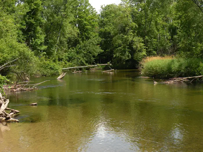
In 1978, sixty-six miles of the Pere Marquette were designated a National Scenic River. The Pere Marquette River is the longest unregulated (no dams or impoundments) river system in Michiganâ??s Lower Peninsula. The river is a nationally known, high-quality stream supporting large populations of resident trout, steelhead and salmon.The Pere Marquette River, within the Forestâ??s boundary, has been divided into three non-motorized watercraft segments: Segment 1 - Forks to Bowman Bridge; Segment 2 - Bowman Bridge to Upper Branch Bridge; and Segment 3 - Upper Branch Bridge to Indian Bridge. The riverâ??s characteristics and the setting vary by river segment. Someone wanting a recreation experience where there is a good chance of encountering others would enjoy Segment 1; those wanting the opportunity to experience more solitude would appreciate Segment 3.
Camping within the river corridor on National Forest lands is allowed only at designated sites. Sites range from developed campgrounds to primitive, canoe-in only sites. Fees for camping and using river access sites are charged under the Recreation Fee Enhancement Act. Check the bulletin board at each site for fees and additional information.
Getting there
From Baldwin access to the start of Segment 1, M-37 Landing, go south on Highway M-37 for 2 miles and the launch is on left or east side of M-37. From Baldwin access to the start of Segment 2, Bowman Bridge, turn west on 52nd Street for 5 miles turn right or north into access site. From Baldwin access to Segment 3, Upper Branch Bridge, travel west on 52nd Street for 8.5 miles, turn right and travel north on South Branch Road for 3 miles and access site is on left.
43.85753, -85.84972 · 43°51'27.1"N 85°50'59.0"W
Typical weather
| Jan | Feb | Mar | Apr | May | Jun | Jul | Aug | Sep | Oct | Nov | Dec | |
|---|---|---|---|---|---|---|---|---|---|---|---|---|
| High °F | — | — | — | — | — | — | — | — | — | — | — | — |
| Low °F | — | — | — | — | — | — | — | — | — | — | — | — |
| Precip in | 2.7 | 2.0 | 2.5 | 3.9 | 4.1 | 3.8 | 3.2 | 3.4 | 3.4 | 4.0 | 3.1 | 2.2 |
1991–2020 averages from the nearest NOAA station, 20.2 mi away — not measured at the facility itself, and elevation can make a real difference over that distance.
Map
Ways in
Showing 3 of 3.
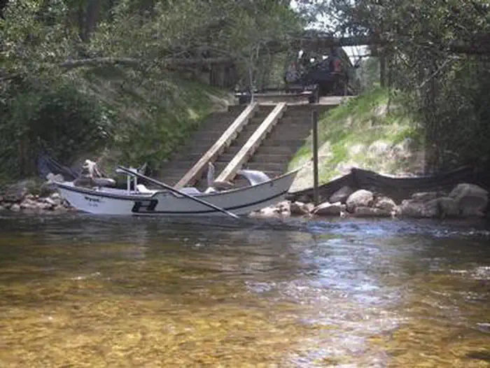
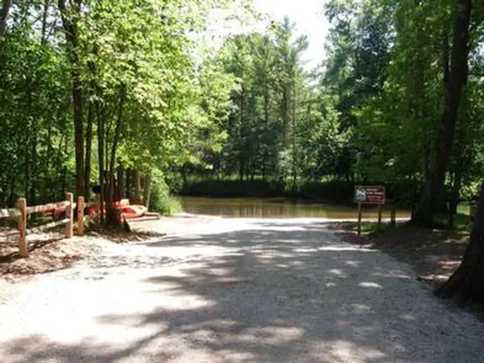
- Bowman Bridge to Upper Branch — Boat Launch
- Forks to Bowman Bridge — Boat Launch
- Upper Branch to Indian Bridge — Boat Launch
More photos
Member photos
Common questions about Pere Marquette National Scenic River Watercraft Permits (Huron Manistee)
- Can you reserve a site at Pere Marquette National Scenic River Watercraft Permits (Huron Manistee)?
- Yes, Pere Marquette National Scenic River Watercraft Permits (Huron Manistee) is reservable through Recreation.gov.
Camping near Pere Marquette National Scenic River Watercraft Permits (Huron Manistee)
- Gleasons Landing 3.6 mi · Campground · we watch it
- Bowman Bridge 5.1 mi · Campground · we watch it
- Nichols Lake South Campground 9.7 mi · Campground · we watch it
- Claybanks Campground 1.9 mi · Campground
- Bowman Lake Area 5 mi · Facility
- Bowman Lake Campground 6.3 mi · Campground
- Highbank Lake Campground 6.3 mi · Campground
- Condon Lakes West 7.3 mi · Campground
- Sulak Campground 9.3 mi · Campground
- Timber Creek Campground 9.6 mi · Campground
- Elk Canoe Campground 10.2 mi · Campground
- Shelley Lake Campground 10.2 mi · Campground
Contact
- Email r9_hmnf_website@fs.fed.us
- Book Recreation.gov
Recreation.gov last updated this record on 2026-02-25.
Facility information and photographs from Recreation.gov (RIDB). SpotOpened is not affiliated with Recreation.gov or any federal agency.
Comments