Huron Islands Wilderness
Facility · Michigan ·
Managed by the Fish and Wildlife Service
Huron National Wildlife Refuge (NWR) · Restricted Access
- 680 ft
- Elevation
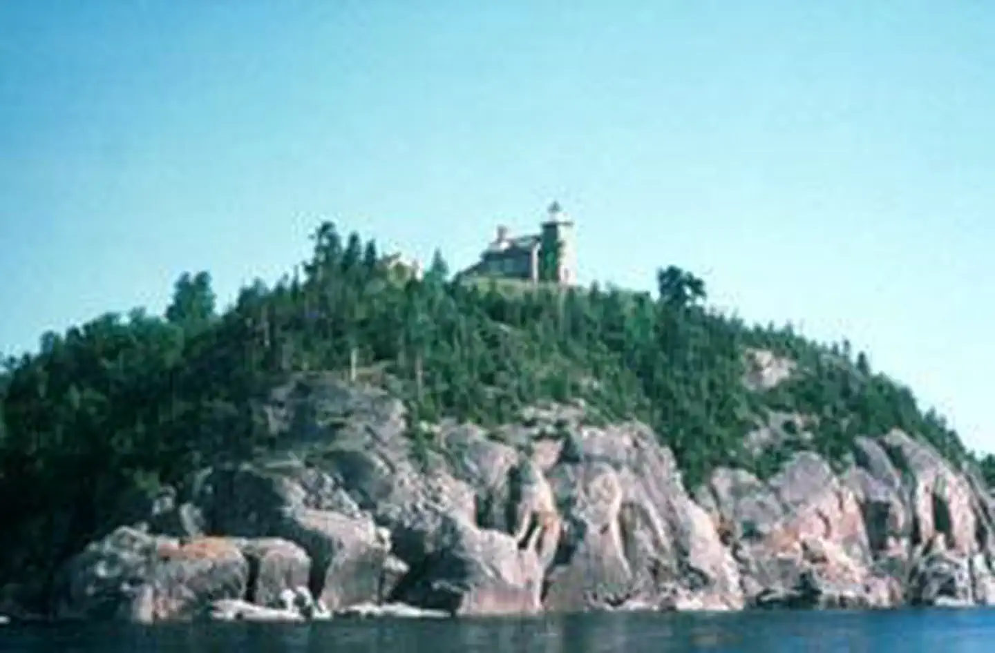
The Huron Islands Wilderness now contains a total of 147 acres and is managed by the Fish & Wildlife Service's Seney National Wildlife Refuge. All of the Wilderness is in the state of Michigan. In 1970 the Huron Islands Wilderness became part of the now over 110 million acre National Wilderness Preservation System.
The Huron Island Wilderness is located on the Huron National Wildlife Refuge. The Refuge was created in 1905, when President Theodore Roosevelt designated the 8 small islands a national bird sanctuary to protect large colonies of nesting gulls. All of the Refuge’s islands are managed as Wilderness. Lighthouse Island is the only island open to public access.
The eastern most island is known as Cattle Island in memory of the livestock marooned there in 1860 when a cargo ship, the Arctic, ran aground. This incident prompted the construction of a lighthouse on the West Huron Island, also known as Lighthouse Island. The lighthouse was completed in 1868 and is still active today.
The islands are sheer granite outcrops which rise nearly 120 feet above the Lake Superior waterline. In some areas the bare granite still shows deep grooves left by retreating glaciers, while in other areas the thin soil layer supports a ground cover with gnarled red and white pines, balsam fir, and white birch. On Lighthouse Island you will also find remnant plants from past light keeper’s gardens.
Wildlife is scarce during the winter months, only snowshoe hare and small mammals are year-round residents. Occasionally, other mammals may wander across the winter ice to explore, but they seldom take up residence. However, the islands are critically important for colonial nesting birds and they serve as a resting site for birds migrating across Lake Superior.
A half mile trail leads from the boat dock to the lighthouse and a 1 mile trail will guide you to the north end of the island.
Getting there
The only access to Huron National Wildlife Refuge is by boat. The refuge is located three miles off the south shore of Lake Superior. For safety purposes, always consult navigation charts for the proper location before leaving on any trip. There are public and / or private launching facilities at Big Bay, L’Anse and Skanee.
Lighthouse Island, also known as Huron Island, is the only island that is open to the public. 46 57'44.14" N -87 59'56.05" W
The refuge is not staffed and is managed by the Seney National Wildlife Refuge. Office hours are 8:00 a.m. to 4:00 p.m., Monday - Friday. There is no entrance fee. 46 57'44.14" N -87 59'56.05" W
46.96226, -87.99891 · 46°57'44.2"N 87°59'56.1"W
Typical weather
Typically 75°F in Jul, down to 24°F in Jan.
| Jan | Feb | Mar | Apr | May | Jun | Jul | Aug | Sep | Oct | Nov | Dec | |
|---|---|---|---|---|---|---|---|---|---|---|---|---|
| High °F | 24 | 27 | 36 | 47 | 60 | 70 | 75 | 75 | 68 | 54 | 41 | 29 |
| Low °F | 10 | 11 | 18 | 28 | 40 | 50 | 56 | 55 | 48 | 38 | 27 | 18 |
| Precip in | 2.4 | 1.7 | 1.4 | 2.9 | 2.8 | 3.3 | 3.1 | 3.3 | 3.6 | 3.3 | 2.8 | 2.3 |
1991–2020 averages from the nearest NOAA station, 14.8 mi away — not measured at the facility itself, and elevation can make a real difference over that distance.
Map
Member photos
Common questions about Huron Islands Wilderness
- Can you reserve a site at Huron Islands Wilderness?
- No. Huron Islands Wilderness is not reservable through Recreation.gov, so sites are first-come, first-served or booked elsewhere.
Camping near Huron Islands Wilderness
- Perch Lake Campground 52.3 mi · Campground · we watch it
- Houghton Visitor Center 28.8 mi · Facility
- Calumet Visitor Center 28.9 mi · Facility
- Sturgeon River Gorge Wilderness 40.8 mi · Facility
- Sturgeon River Campground 41.3 mi · Campground
- Courtney Lake Campground 46.8 mi · Campground
- Bob Lake Campground 48 mi · Campground
- Norway Lake Campground 49.7 mi · Campground
- Lake Ste Kathryn Campground 52.2 mi · Campground
- Kenton Ranger District 53.6 mi · Facility
- Sparrow Rapids Campground 54.9 mi · Campground
Contact
- Phone (906)586-9851
- Email seney@fws.gov
- Info Recreation.gov
Recreation.gov last updated this record on 2026-02-25.
Facility information and photographs from Recreation.gov (RIDB). SpotOpened is not affiliated with Recreation.gov or any federal agency.
Comments