Camp Cook Campsite
Campground · Michigan · 1 bookable site ·
Managed by the USDA Forest Service
Hiawatha National Forest (NF) · Open Access
- 1
- Bookable site
- 40 ft
- Max rig length
- up to 24
- People per site
- 763 ft
- Elevation
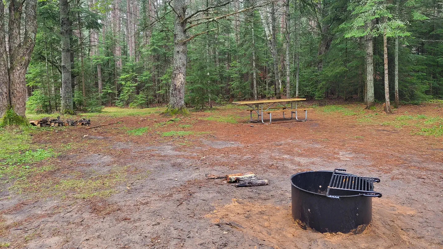
Overview
The Munising and Rapid River/Manistique Ranger Districts of the Hiawatha National Forest offer a variety of camping experiences. Many are located on inland lakes in a rustic forest environment with no drinking water. The rustic environment offers a wonderfully serene and peaceful setting for your next camping experience.
Recreation
Visitors will be able to enjoy berry picking and fishing at these dispersed campsites. Licenses are required for fishing in Michigan waters.
This site is located adjacent to the Fishdam River, which provides a great fishing opportunity for brook trout.
This site does NOT offer swimming. However, there is an excellent beach area located at Camp 7 Lake Campground that is only two miles away.
Facilities
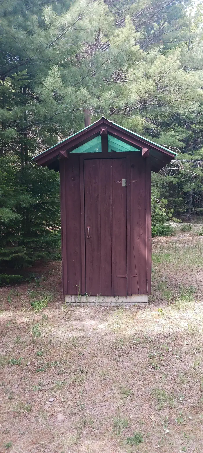
There is a toilet available.
Lake Name: None
Number of Sites: 1
Maximum Number of People Per Site: 24
Toilets: Yes
Boat Access: None
Lake Size (acres): None
Natural Features
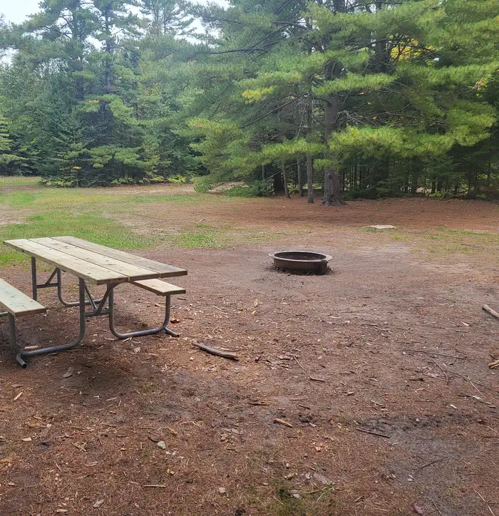
Once the site of a Civilian Conservation Corps (CCC) camp, Camp Cook offers a campsite that can be reserved singly or as a group. This site is situated on a large grassy opening, which makes it particulary well suited for large gatherings. It is close in proximity to the Fishdam River, which makes it popular among anglers.
Nearby Attractions
There are a number of horse, bike, and hiking trails within minutes of several of the sites. In a 15 mile area from this campsite, visitors can expect to find: bait shops, general and grocery stores, gas, a pay phone, trailheads, a fishing pier, biking, and kayak/canoe rentals.
Groceries, gasoline, fishing and camping supplies, ice and deli are available nine miles Northeast on County Road 437 in the Thunder Lake Area.
Contact Info
For local information, please call (906) 474-6442 or call (906) 387-2512 for general information.The facts
- Season: May 15 – Columbus Day — USDA Forest Service, Aug 24, 2026
- 1 bookable site
- Vehicles up to 40 ft
- Up to 24 people per site
- Loops: CAMP COOK CAMPSITE
Site types
- 1 Standard Nonelectric
Amenities
- Campfires allowed
- Picnic tables
- Grills
- Shade
- Pets allowed
Not recorded upstream: electric hookups, water hookups, sewer hookups, fire pits.
1 campsite at Camp Cook Campsite
Check-in 2:00 PM · Check-out 12:00 PM
| Site | Loop | Type | Entry | Surface | Grade | Max rig | People | |
|---|---|---|---|---|---|---|---|---|
| 001 | CAMP COOK CAMPSITE | Standard Nonelectric | Pull Through | Gravel | Slight | 40 ft | 24 | 🐾 |
Getting there
From the Intersection of US-2 and Forest Highway 13 (about 14 miles east of Rapid River or 22 miles west of Manistique), drive north 8.4 miles on Highway 13 to CR 442.
- Turn right (east) and drive 5.8 miles to FR 2052B.
- Turn right (southeast) and follow it to the campsite.
46.03917, -86.58139 · 46°2'21.0"N 86°34'53.0"W
Typical weather
Typically 78°F in Jul, down to 26°F in Jan.
| Jan | Feb | Mar | Apr | May | Jun | Jul | Aug | Sep | Oct | Nov | Dec | |
|---|---|---|---|---|---|---|---|---|---|---|---|---|
| High °F | 26 | 28 | 36 | 48 | 62 | 73 | 78 | 77 | 69 | 55 | 41 | 31 |
| Low °F | 8 | 7 | 13 | 28 | 40 | 50 | 54 | 50 | 44 | 35 | 27 | 16 |
| Precip in | 1.8 | 1.5 | 1.9 | 3.1 | 3.2 | 3.4 | 3.5 | 3.2 | 3.7 | 3.5 | 3.0 | 2.3 |
1991–2020 averages from the nearest NOAA station, 9.9 mi away — not measured at the facility itself, and elevation can make a real difference over that distance.
Map
More photos
Member photos
Common questions about Camp Cook Campsite
- Can you reserve a site at Camp Cook Campsite?
- Yes, Camp Cook Campsite is reservable through Recreation.gov.
- How many campsites does Camp Cook Campsite have?
- 1 site.
- What is the maximum RV length at Camp Cook Campsite?
- 40 ft. That is the longest vehicle the sites here are recorded as taking; individual sites may be shorter.
- Are pets allowed at Camp Cook Campsite?
- Yes, pets are allowed at Camp Cook Campsite.
- Are campfires allowed at Camp Cook Campsite?
- Campfires are allowed at Camp Cook Campsite. Check for a current fire restriction before you go.
Also listed by
Camp Cook Campsite also appears in other federal recreation data. Facts below are matched by name and location, not confirmed by Camp Cook Campsite's operator.
USDA Forest Service — data as of Aug 24, 2026
- Camping fee is $8 per night per site. Federal Recreation Passes (Golden/America the Beautiful) are accepted.
Camping near Camp Cook Campsite
- Chicago Lake Campsites 0.8 mi · Campground · we watch it
- Camp Seven Lake Campground 2 mi · Campground · we watch it
- Gooseneck Lake Campsites 2.4 mi · Campground · we watch it
- Lyman Lake Campsites 3.2 mi · Campground · we watch it
- Jackpine Lake Campsites 4 mi · Campground · we watch it
- Carr Lake Campsite 4.4 mi · Campground · we watch it
- Bear Lake Campsite 4.5 mi · Campground · we watch it
- Mowe Lake Campsites 7.3 mi · Campground · we watch it
- Lyman Lake Campsites 2.7 mi · Campground
- Gooseneck Lake Campsites 3 mi · Campground
- Carr Lake Campsites 4.4 mi · Facility
- Jackpine Lake Campsites 5.4 mi · Campground
Contact
- Phone 906-474-6442 OR 906-387-2512
- Book Recreation.gov
Recreation.gov last updated this record on 2026-03-11.
Facility information and photographs from Recreation.gov (RIDB). SpotOpened is not affiliated with Recreation.gov or any federal agency.
Comments