Saint Croix Island Ranger Station
Facility · Maine ·
Managed by the National Park Service
- 39 ft
- Elevation
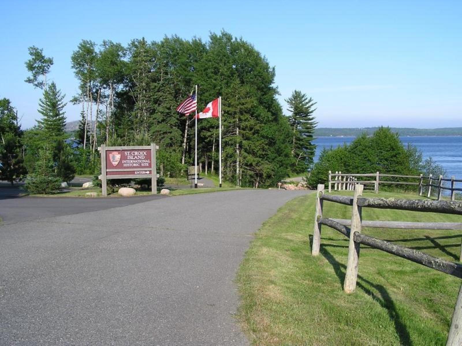
The ranger station provides information for the area and the history of Saint Croix Island and marks the start of the interpretive trail leading out to the viewpoint overlooking the island.
During winter, typically the end of October to Memorial Day, services are limited. The displays and bronze statutes along the interpretive trail are covered to prevent damage from inclement weather, and the visitor center is closed.
Getting there
Saint Croix Island International Historic Site is best reached by private vehicle. The site is located 8 miles (13 km) south of Calais, Maine, on US Route 1, and can be reached either by Route 9 from Bangor or US Route 1, the coastal route from Portland and points south. From US Route 1, turn onto St. Croix Drive. The entrance gate is on the right. The visitor center is inside the ranger station.
45.12417, -67.14748 · 45°7'27.0"N 67°8'50.9"W
Typical weather
Typically 77°F in Jul, down to 29°F in Jan.
| Jan | Feb | Mar | Apr | May | Jun | Jul | Aug | Sep | Oct | Nov | Dec | |
|---|---|---|---|---|---|---|---|---|---|---|---|---|
| High °F | 29 | 32 | 40 | 51 | 62 | 71 | 77 | 77 | 69 | 57 | 45 | 34 |
| Low °F | 11 | 13 | 22 | 32 | 41 | 50 | 56 | 56 | 49 | 39 | 30 | 19 |
| Precip in | 4.8 | 4.2 | 4.8 | 4.4 | 4.3 | 4.1 | 3.2 | 3.5 | 4.2 | 5.4 | 5.5 | 6.3 |
1991–2020 averages from the nearest NOAA station, 3 mi away — not measured at the facility itself, and elevation can make a real difference over that distance.
Map
Member photos
Common questions about Saint Croix Island Ranger Station
- Can you reserve a site at Saint Croix Island Ranger Station?
- No. Saint Croix Island Ranger Station is not reservable through Recreation.gov, so sites are first-come, first-served or booked elsewhere.
Camping near Saint Croix Island Ranger Station
- Moosehorn (Baring Unit) Wilderness 6.5 mi · Facility
- Moosehorn Wilderness 6.5 mi · Facility
Contact
- Phone (207) 454-0418
- Email acadia_information@nps.gov
- Info Recreation.gov
Recreation.gov last updated this record on 2026-02-25.
Facility information and photographs from Recreation.gov (RIDB). SpotOpened is not affiliated with Recreation.gov or any federal agency.
Comments