Lacassine Wilderness
Facility · Louisiana ·
Managed by the Fish and Wildlife Service
Lacassine National Wildlife Refuge (NWR) · Restricted Access
- 9 ft
- Elevation
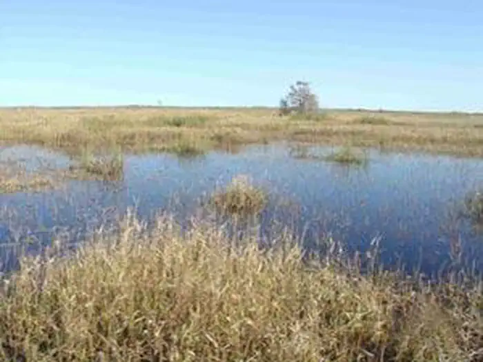
The Lacassine Wilderness now contains a total of 3,346 acres and is managed by the Fish & Wildlife Service Southwest Louisiana National Wildlife Refuge Complex. All of the Wilderness is in the state of Louisiana. In 1976 the Lacassine Wilderness became part of the now over 110 million acre National Wilderness Preservation System.
On the southern end of the Mississippi and Central Flyways, Lacassine National Wildlife Refuge is primarily a freshwater marsh. Lacassine refuge marshes provide feeding and resting habitat for more than 300,000 ducks and 80,000 geese. The refuge also provides habitat for many shorebirds, wading birds, marsh birds, various manmmals,and alligators. The first nesting colony of cattle egrets outside Florida was discovered here. Nesting rookeries of roseate spoonbills, and other wading birds can be found in the Lacassine Pool. Watch for armadillos, swamp rabbits, minks, otters, nutrias and American alligators. The southern portion of the refuge, south of the pipeline canal and west of Bayou Misere, has been designated Wilderness. Unlike the rest of the refuge, this area has seen relatively little impact from human activity. There are no established trails, and no camping is allowed. The 3345 acre wilderness area can be accessed by non-motorized vessel or chest waders.
The name Lacassine comes from the local native American word "loc o'shin", which means "at the prairies edge".
Getting there
30.00368, -92.78128 · 30°0'13.2"N 92°46'52.6"W
Typical weather
Typically 92°F in Aug, down to 61°F in Jan.
| Jan | Feb | Mar | Apr | May | Jun | Jul | Aug | Sep | Oct | Nov | Dec | |
|---|---|---|---|---|---|---|---|---|---|---|---|---|
| High °F | 61 | 66 | 72 | 78 | 84 | 90 | 91 | 92 | 89 | 81 | 71 | 63 |
| Low °F | 44 | 47 | 53 | 60 | 68 | 73 | 75 | 74 | 70 | 61 | 51 | 45 |
| Precip in | 5.6 | 4.2 | 3.1 | 4.8 | 4.6 | 6.2 | 5.0 | 6.1 | 5.8 | 4.5 | 5.3 | 4.8 |
1991–2020 averages from the nearest NOAA station, 1.4 mi away — not measured at the facility itself, and elevation can make a real difference over that distance.
Map
Member photos
Common questions about Lacassine Wilderness
- Can you reserve a site at Lacassine Wilderness?
- No. Lacassine Wilderness is not reservable through Recreation.gov, so sites are first-come, first-served or booked elsewhere.
Camping near Lacassine Wilderness
- Prairie Acadian Cultural Center 40.2 mi · Facility
- Acadian Cultural Center 49.2 mi · Facility
Contact
- Phone 337-598-2216
- Email SWLRComplex@fws.gov
- Info Recreation.gov
Recreation.gov last updated this record on 2026-02-25.
Facility information and photographs from Recreation.gov (RIDB). SpotOpened is not affiliated with Recreation.gov or any federal agency.
Comments