Breton Wilderness
Facility · Louisiana ·
Managed by the Fish and Wildlife Service
Main Pass Area, South and East Addition · Open Access
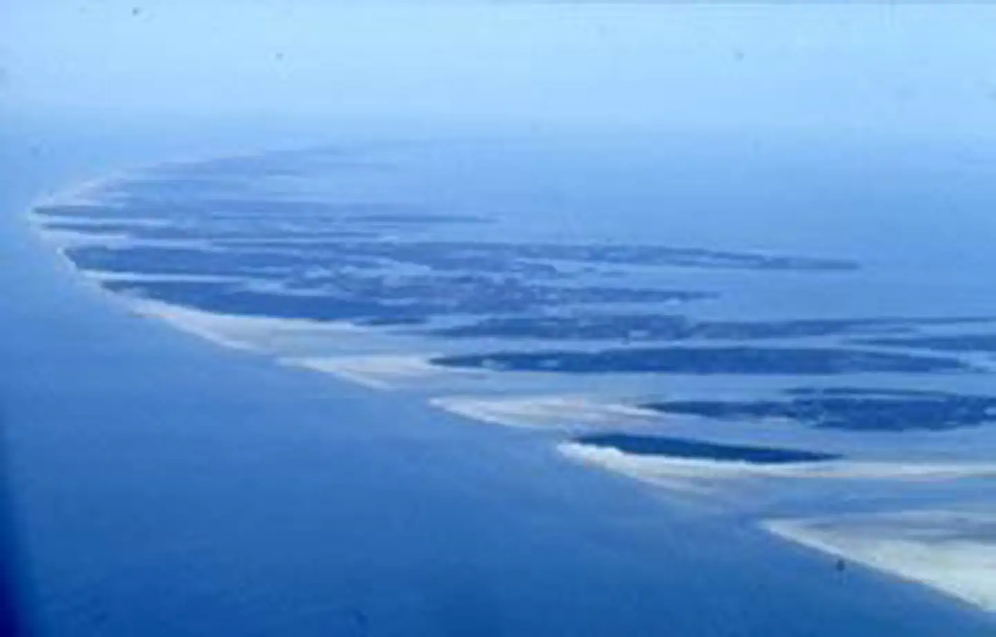
The Breton Wilderness now contains a total of 5,000 acres and is managed by the Fish & Wildlife Service's Breton National Wildlife Refuge. All of the Wilderness is in the state of Louisiana. In 1975 the Breton Wilderness became part of the now over 110 million acre National Wilderness Preservation System. Located off the delta of the great Mississippi River, Breton Island actually consists of two adjacent islands (north and south) with a combined length of about three miles and a width of less than one mile. Part of a long chain of barrier islands, they comprise only a small section of Breton National Wildlife Refuge. The greater portion of the refuge consists of the Chandeleur Islands, an approximately 20-mile-long crescent of land lying north of Breton. Between Breton and Chandeleur are more islands owned by the state and managed by the refuge. Geologically young, these unstable islands were created by the erosion and reshaping of a former Mississippi River delta. On the Gulf of Mexico side of the islands you'll find low sandy beaches tapering into a maze of ponds, inlets, and saltwater marshes. Hundreds of thousands of seabirds use these islands as nesting and wintering habitat. Endangered brown pelicans have made a dramatic return under careful refuge management. Camping is not allowed. Human visitors are common, sometimes coming for bird watching but primarily for surf fishing. Almost all of the refuge is designated Wilderness.
Getting there
The refuge and wilderness areas are located in the Gulf of Mexico and are accessible only by boat. Most visitors depart from either the Mississippi Gulf Coast or Venice, LA.
The Refuge Visitor Center is located on a beautiful property in Lacombe, LA on Hwy 434 two miles south of I-12 (Exit 74). The center displays exhibits about all eight refuges managed by the Southeast Louisiana Refuges Complex.
29.47121, -88.51261 · 29°28'16.4"N 88°30'45.4"W
Typical weather
Typically 89°F in Aug, down to 62°F in Jan.
| Jan | Feb | Mar | Apr | May | Jun | Jul | Aug | Sep | Oct | Nov | Dec | |
|---|---|---|---|---|---|---|---|---|---|---|---|---|
| High °F | 62 | 65 | 70 | 76 | 82 | 87 | 89 | 89 | 86 | 79 | 71 | 64 |
| Low °F | 48 | 50 | 55 | 62 | 70 | 76 | 78 | 78 | 76 | 68 | 58 | 51 |
| Precip in | 4.5 | 3.0 | 5.2 | 4.3 | 3.6 | 4.6 | 6.4 | 7.2 | 4.1 | 4.0 | 2.8 | 4.1 |
1991–2020 averages from the nearest NOAA station, 54.7 mi away — not measured at the facility itself, and elevation can make a real difference over that distance.
Map
Member photos
Common questions about Breton Wilderness
- Can you reserve a site at Breton Wilderness?
- No. Breton Wilderness is not reservable through Recreation.gov, so sites are first-come, first-served or booked elsewhere.
Contact
- Phone 985-882-2000
- Email southeastlouisianarefuges@fws.gov
- Info Recreation.gov
Recreation.gov last updated this record on 2026-02-25.
Facility information and photographs from Recreation.gov (RIDB). SpotOpened is not affiliated with Recreation.gov or any federal agency.
Comments