Barataria Preserve
Facility · Louisiana ·
Managed by the National Park Service
Jean Lafitte National Historical Park and Preserve, Barataria Preserve (National Historical Park and Preserve) · Open Access
- 1 ft
- Elevation
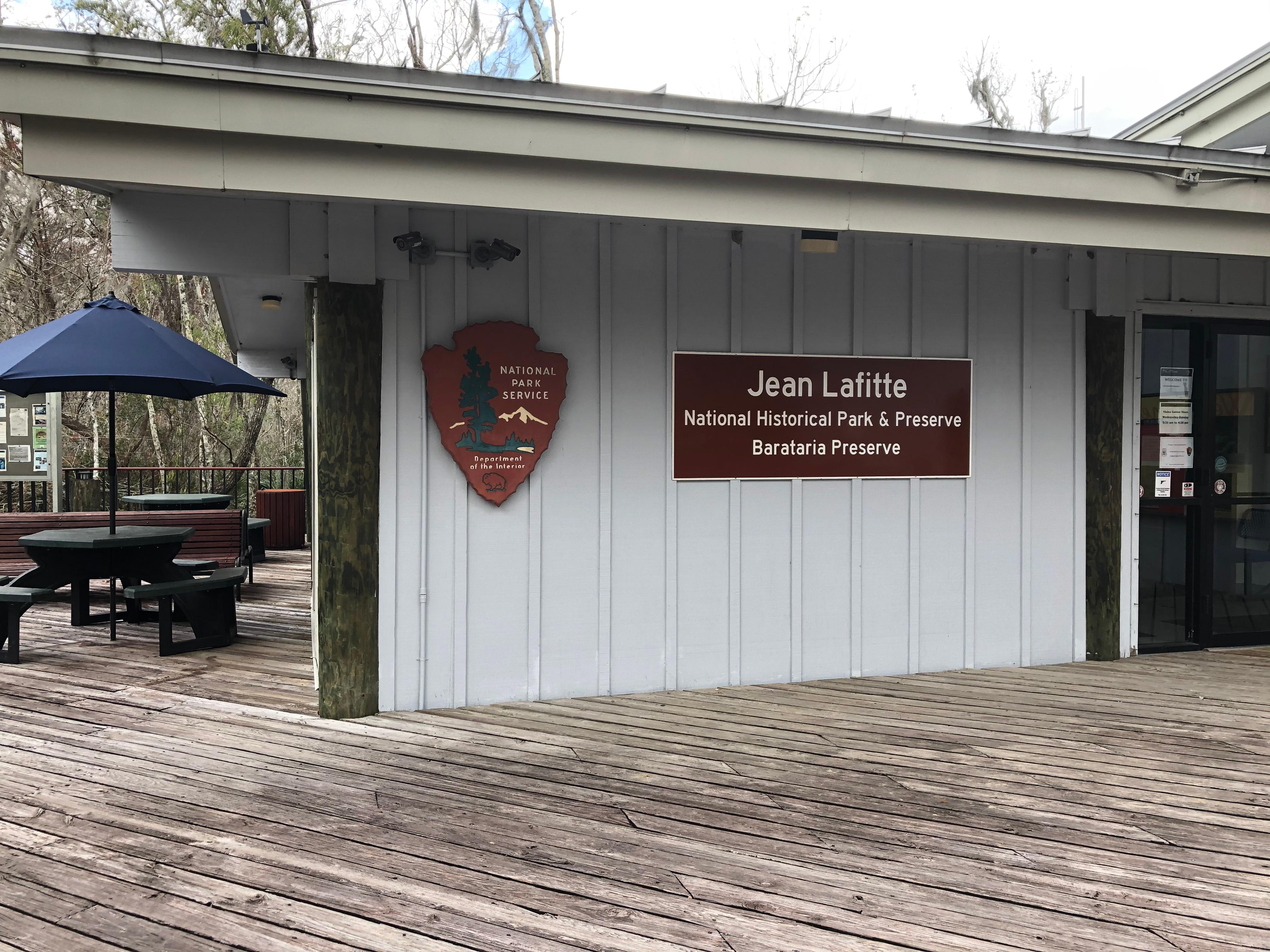
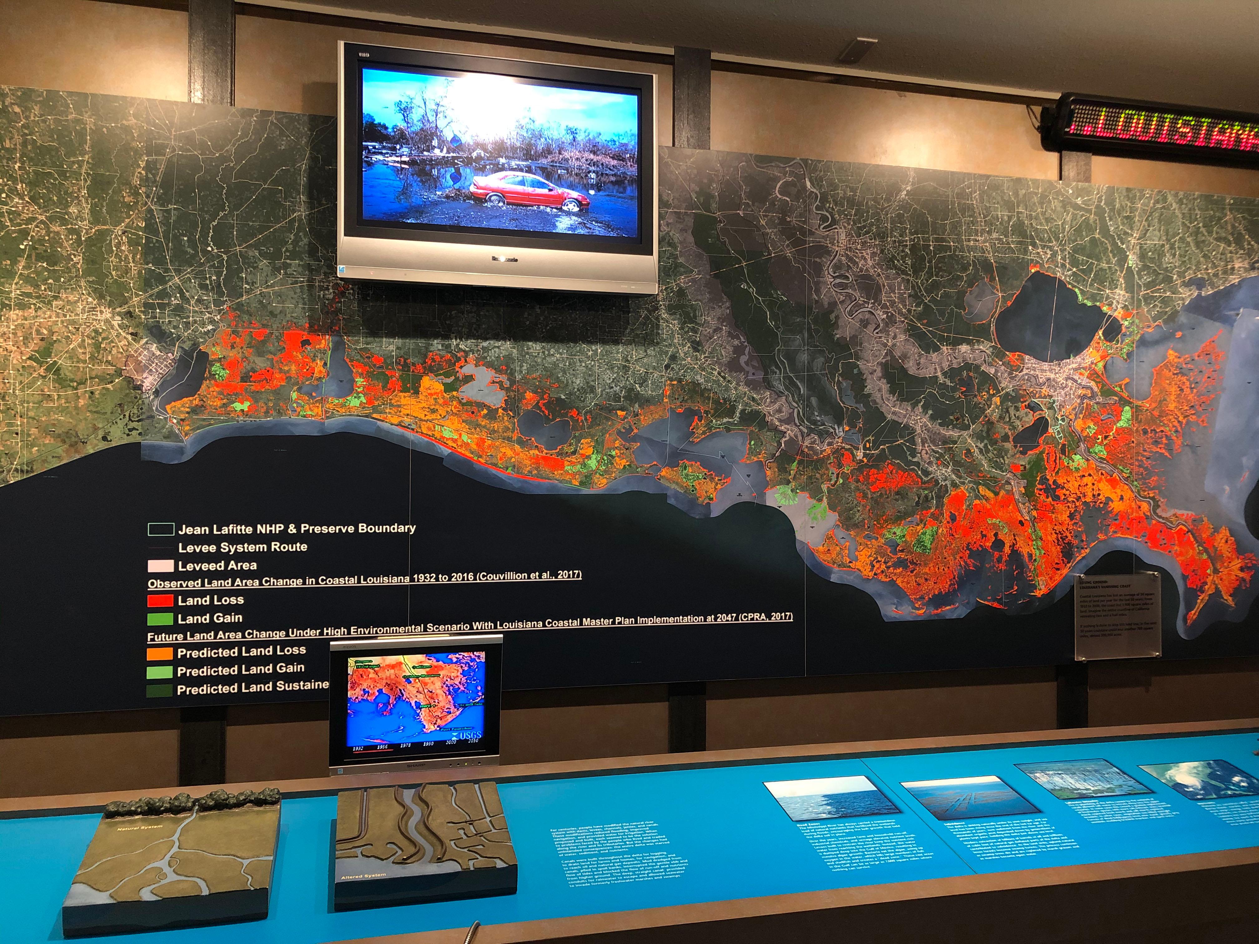
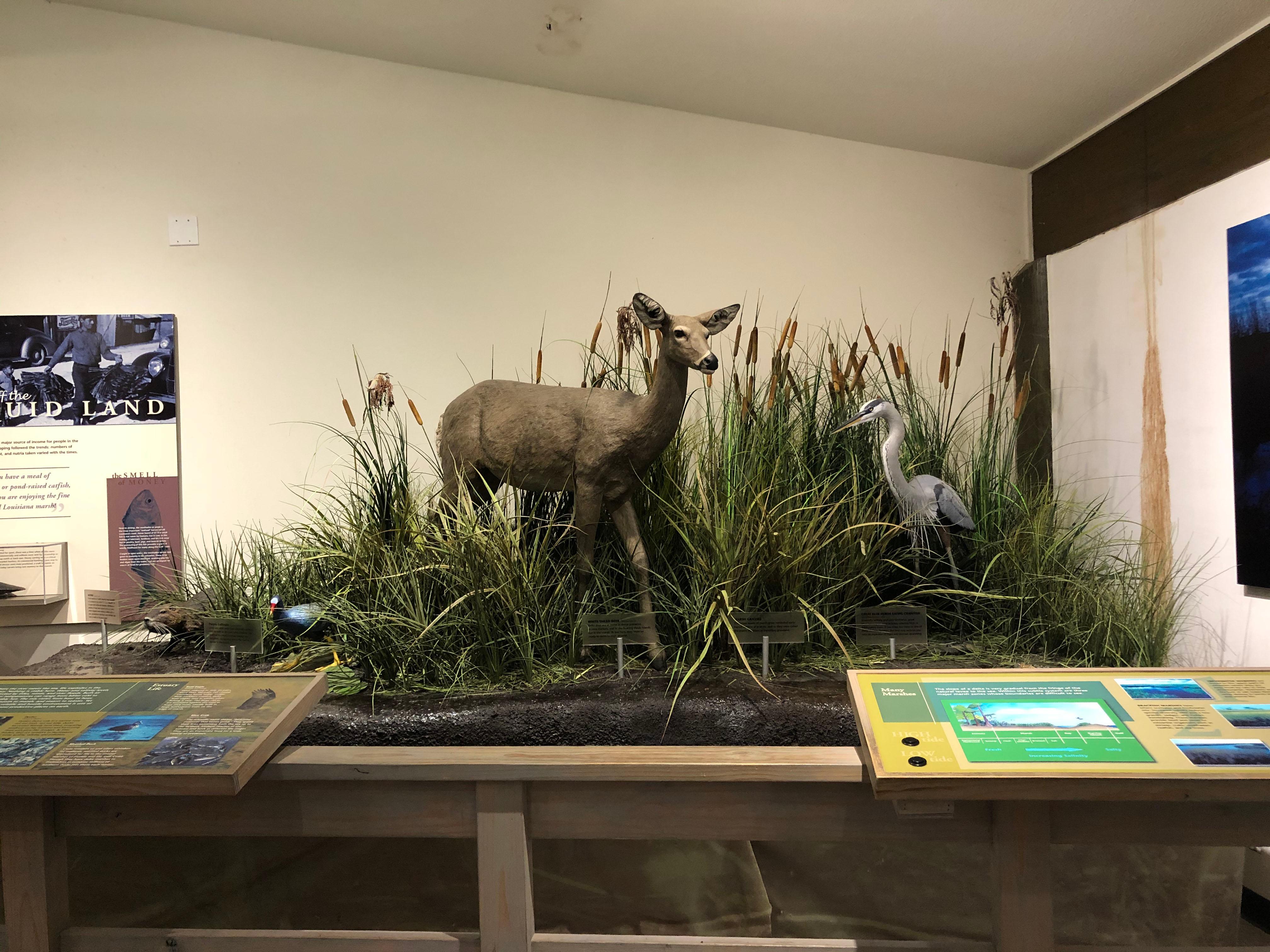
With more than 26,000 acres of wild Louisiana wetlands, the Barataria Preserve's hardwood forest, swamp, bayous, and marsh offer trails, picnic areas, fishing, hunting (in season and with permits), and wildlife viewing. Visitor center films and exhibits explain the wetlands habitat and current environmental challenges; ranger programs are offered daily. Admission to the preserve and to most programs is free.
Getting there
The Barataria Preserve is located 17 miles south of New Orleans on the west bank of the Mississippi River; Barataria Blvd./Highway 45 runs through the preserve. Note that not all GPS systems find the preserve successfully, so double check your GPS against a map. The Visitor Center is located just off of Highway 45.
29.78395, -90.11553 · 29°47'2.2"N 90°6'55.9"W
Typical weather
Typically 90°F in Jul, down to 62°F in Jan.
| Jan | Feb | Mar | Apr | May | Jun | Jul | Aug | Sep | Oct | Nov | Dec | |
|---|---|---|---|---|---|---|---|---|---|---|---|---|
| High °F | 62 | 66 | 72 | 78 | 84 | 89 | 90 | 90 | 87 | 79 | 70 | 64 |
| Low °F | 43 | 47 | 53 | 58 | 66 | 72 | 74 | 74 | 70 | 61 | 51 | 46 |
| Precip in | 5.3 | 4.2 | 5.2 | 5.3 | 5.5 | 7.2 | 7.5 | 6.9 | 6.3 | 3.8 | 3.8 | 5.1 |
1991–2020 averages from the nearest NOAA station, 0.1 mi away — not measured at the facility itself, and elevation can make a real difference over that distance.
Map
More photos
Member photos
Common questions about Barataria Preserve
- Can you reserve a site at Barataria Preserve?
- No. Barataria Preserve is not reservable through Recreation.gov, so sites are first-come, first-served or booked elsewhere.
Camping near Barataria Preserve
- Ogden Museum of Southern Art 12 mi · Facility
- French Quarter Visitor Center 12.2 mi · Facility
- New Orleans Jazz National Historical Park 12.2 mi · Visitor Center
- Chalmette Battlefield and Chalmette National Cemetery 13.1 mi · Facility
- Wetlands Acadian Cultural Center 42.5 mi · Facility
Contact
- Phone (504) 689-3690
- Email jela_interpretation@nps.gov
- Info Recreation.gov
Recreation.gov last updated this record on 2026-02-25.
Facility information and photographs from Recreation.gov (RIDB). SpotOpened is not affiliated with Recreation.gov or any federal agency.
Comments