Woodring Day Use Area Shelter
Campground · Georgia · 1 bookable site ·
Managed by the US Army Corps of Engineers
Carters Recreation Area (Recreation Area) · Open Access
- 1
- Bookable site
- 12 ft
- Max rig length
- up to 50
- People per site
- 1
- Accessible site
- 1,255 ft
- Elevation
Overview
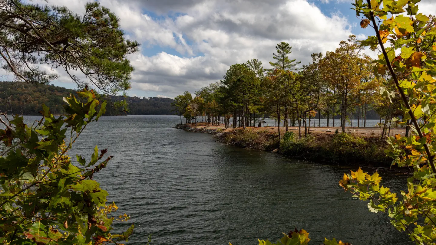
Woodring Day Use Area is located in the North Georgia Mountains about 70 miles north of Atlanta on Carters Lake. The sparkling waters and rugged shoreline provide a beautiful surrounding for a variety of outdoor recreational opportunities including camping, hiking, boating, mountain biking, fishing, hunting and picnicking.Recreation
Boaters visit Carters Lake to enjoy its solitude and scenic beauty. Whether in a powerboat or sailboat on the open water or paddling along the shoreline in a canoe, Carters Lake offers enjoyable boating experiences for everyone.
Fishing is a popular activity on the lake. Major species include bass (largemouth, smallmouth, hybrid, striped and spotted) crappie, walleye, bream and catfish.
Hikers come to take advantage of the Amadahy and the Oak Ridge hiking trails that are both located along Woodring Branch Rd.
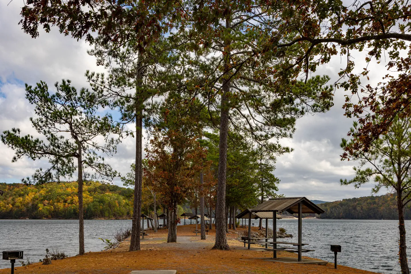
Picnickers have several tables to choose from in the Day Use area, each with a stationary grill. There is one large picnic shelter available to rent on this website.
Camping is available in the nearby Woodring Branch campground that boasts electricity hookups for RVs. There is also a primitive campgound for tent camping and a boat-in campground for the adventurous.
Facilities
Woodring Day Use Area provides boaters with a launch ramp with two lanes and courtesy dock. The area also provides ample picnic sites and restrooms. The shelter (CL-11) seating capacity is 50 people maximum and parking capacity of 25 vehicles.Natural Features
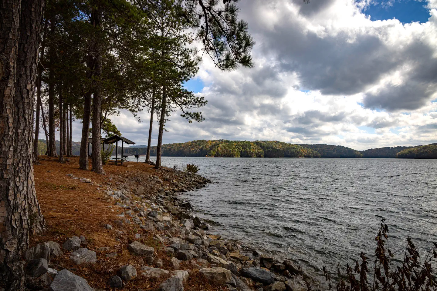
Carters Lake embraces a spectacular tract of foothills scenery in the Blue Ridge Mountains of North Georgia. It covers 3,200 surface acres and has 62 miles of undeveloped shoreline.Nearby Attractions
The City of Ellijay is about 30 minutes away, offering restaurants, grocery stores and fuel, along with other amenities.Charges & Cancellations
Please review the rules and reservation policies link at the bottom of the page.The facts
- 1 bookable site
- 1 site for day use only
- 1 accessible site
- Vehicles up to 12 ft
- Up to 50 people per site
- Loops: WOODRING DAY USE AREA SHELTER
Site types
- 1 Group Shelter Nonelectric
Amenities
- Picnic tables
- Grills
- Shade
- Pets allowed
Not recorded upstream: electric hookups, water hookups, sewer hookups, campfires allowed, fire pits.
1 campsite at Woodring Day Use Area Shelter
Check-in 7:00 AM · Check-out 8:00 PM
| Site | Loop | Type | Entry | Surface | Water | Max rig | People | |
|---|---|---|---|---|---|---|---|---|
| Shelter | WOODRING DAY USE AREA SHELTER | Group Shelter Nonelectric | — | Paved | Lakefront | 12 ft | 50 | ♿ 🐾 |
Getting there
From Atlanta: Take Interstate 75 North until Exit 293, turn right onto Georgia Highway 411 North, travel approximately 30 miles; take a right onto Georgia Highway 136 East; proceed across railroad tracks; turn left onto Old Highway 411 North, continue approximately six (6) miles and turn right onto Highway 76, travel approximately 3.5 miles and turn right onto Woodring Branch Road; proceed almost five (5) miles and continue straight into Woodring Branch Day Use Area.
Woodring
5600 Woodring Branch Road
Ellijay, GA 30540
34.61754, -84.63987 · 34°37'3.1"N 84°38'23.5"W
Typical weather
| Jan | Feb | Mar | Apr | May | Jun | Jul | Aug | Sep | Oct | Nov | Dec | |
|---|---|---|---|---|---|---|---|---|---|---|---|---|
| High °F | — | — | — | — | — | — | — | — | — | — | — | — |
| Low °F | — | — | — | — | — | — | — | — | — | — | — | — |
| Precip in | 5.7 | 5.0 | 5.5 | 5.7 | 4.7 | 5.0 | 4.6 | 4.4 | 4.6 | 3.5 | 4.7 | 6.2 |
1991–2020 averages from the nearest NOAA station, 9.8 mi away — not measured at the facility itself, and elevation can make a real difference over that distance.
Map
More photos
Member photos
Common questions about Woodring Day Use Area Shelter
- Can you reserve a site at Woodring Day Use Area Shelter?
- Yes, Woodring Day Use Area Shelter is reservable through Recreation.gov.
- How many campsites does Woodring Day Use Area Shelter have?
- 1 site.
- What is the maximum RV length at Woodring Day Use Area Shelter?
- 12 ft. That is the longest vehicle the sites here are recorded as taking; individual sites may be shorter.
- Are pets allowed at Woodring Day Use Area Shelter?
- Yes, pets are allowed at Woodring Day Use Area Shelter.
Camping near Woodring Day Use Area Shelter
- Woodring Campground (GA) 0.1 mi · Campground · we watch it
- Woodring Branch Primitive Campground 0.5 mi · Campground · we watch it
- Doll Mountain Campground 1 mi · Campground · we watch it
- Damsite Day Use Area Shelter 1.3 mi · Campground · we watch it
- Northbank Day Use Area Shelter 1.5 mi · Campground · we watch it
- Doll Mountain Day Use Area Shelter 1.6 mi · Campground · we watch it
- Rereg Dam Day Use Area Shelter 3.3 mi · Campground · we watch it
- Lake Conasauga Overflow Campground 16.5 mi · Campground · we watch it
- Lake Conasauga Campground 16.8 mi · Campground · we watch it
- Cohutta Overlook 11.6 mi · Facility
- Conasauga Ranger District 16.2 mi · Facility
- Ball Field Dispersed Camping Area 16.5 mi · Facility
Contact
- Phone 706-334-2248
- Book Recreation.gov
Recreation.gov last updated this record on 2026-02-25.
Facility information and photographs from Recreation.gov (RIDB). SpotOpened is not affiliated with Recreation.gov or any federal agency.
Comments