Lee Trailhead/Picnic Area
Facility · Arizona ·
Managed by the Bureau of Land Management
Safford Field Office (Bureau of Land Management AZ) · Open Access
- 3,169 ft
- Elevation
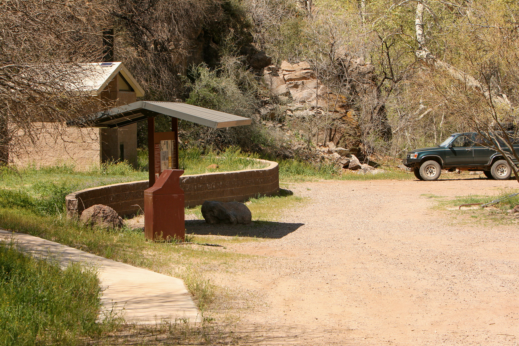
This day use area is located along Bonita Creek within the Gila Box Riparian National Conservation Area with picnic tables and grills.
Visit recreation sites within or nearby the Gila Box Riparian National Conservation Area:
- Riverview Campground
- Owl Creek Campground
- Dry Canyon Picnic Area
- Spring Canyon Picnic Area
- Lee Trail Picnic Area
- Serna Cabin Picnic Area & Historical Site
- Bonita Creek Watchable Wildlife Viewing Area
- Safford-Morenci Trail
- Flying W Group Day Use Area
- Canyon Overlook Picnic Area
- Gila River Boat Put-In
- Old Safford Bridge Picnic Area
Getting there
From Safford, travel approximately five miles east on U.S. Highway 70 to the town of Solomon and turn left onto Sanchez Road. Travel north for eight miles, crossing the bridge at the Gila River, to a Gila Box RNCA sign. Turn left onto that dirt road. Travel another 3.8 miles and take the left fork onto the West Bonita Rim Road. Follow the signs to the Lee Trail Picnic Area.
A high-clearance, four-wheel drive is recommended for the steep hill during the last part of the drive.
32.88074, -109.51000 · 32°52'50.7"N 109°30'36.0"W
Typical weather
Typically 101°F in Jun, down to 60°F in Dec.
| Jan | Feb | Mar | Apr | May | Jun | Jul | Aug | Sep | Oct | Nov | Dec | |
|---|---|---|---|---|---|---|---|---|---|---|---|---|
| High °F | 61 | 66 | 73 | 82 | 91 | 101 | 100 | 98 | 93 | 83 | 70 | 60 |
| Low °F | 34 | 37 | 42 | 48 | 56 | 66 | 72 | 71 | 65 | 52 | 41 | 34 |
| Precip in | 0.7 | 0.6 | 0.5 | 0.2 | 0.2 | 0.2 | 1.3 | 1.3 | 0.9 | 0.7 | 0.5 | 0.8 |
1991–2020 averages from the nearest NOAA station, 7.5 mi away — not measured at the facility itself, and elevation can make a real difference over that distance.
Map
Member photos
Common questions about Lee Trailhead/Picnic Area
- Can you reserve a site at Lee Trailhead/Picnic Area?
- No. Lee Trailhead/Picnic Area is not reservable through Recreation.gov, so sites are first-come, first-served or booked elsewhere.
Camping near Lee Trailhead/Picnic Area
- Aravaipa Canyon Wilderness Permits 12.9 mi · Permit · we watch it
- Bonita Creek Watchable Wildlife Viewing Area less than 0.1 mi · Facility
- Spring Canyon Picnic Area 1.3 mi · Facility
- Dry Canyon Boat Take-Out and Picnic Area 1.3 mi · Facility
- Riverview Campground 1.8 mi · Campground
- Flying W Group Day Use Area 1.8 mi · Facility
- Serna Cabin Picnic Area and Historical Site 2 mi · Facility
- Black Hills Rockhound Area 6.7 mi · Facility
- Gila River Boat Put-In 13 mi · Facility
- Old Safford Bridge Picnic Area 13 mi · Facility
- Owl Creek Campground 13.2 mi · Campground
- Granville Campground 22.3 mi · Campground
Contact
- Phone (928) 348-4505
- Email blm_az_sfoweb@blm.gov
- Info Recreation.gov
Recreation.gov last updated this record on 2026-02-25.
Facility information and photographs from Recreation.gov (RIDB). SpotOpened is not affiliated with Recreation.gov or any federal agency.
Comments