Grayling
Campground · Arizona · 21 bookable sites ·
Managed by the USDA Forest Service
Apache National Forest (NF) · Open Access
- 21
- Bookable sites
- 45 ft
- Max rig length
- up to 8
- People per site
- 9,054 ft
- Elevation
Overview
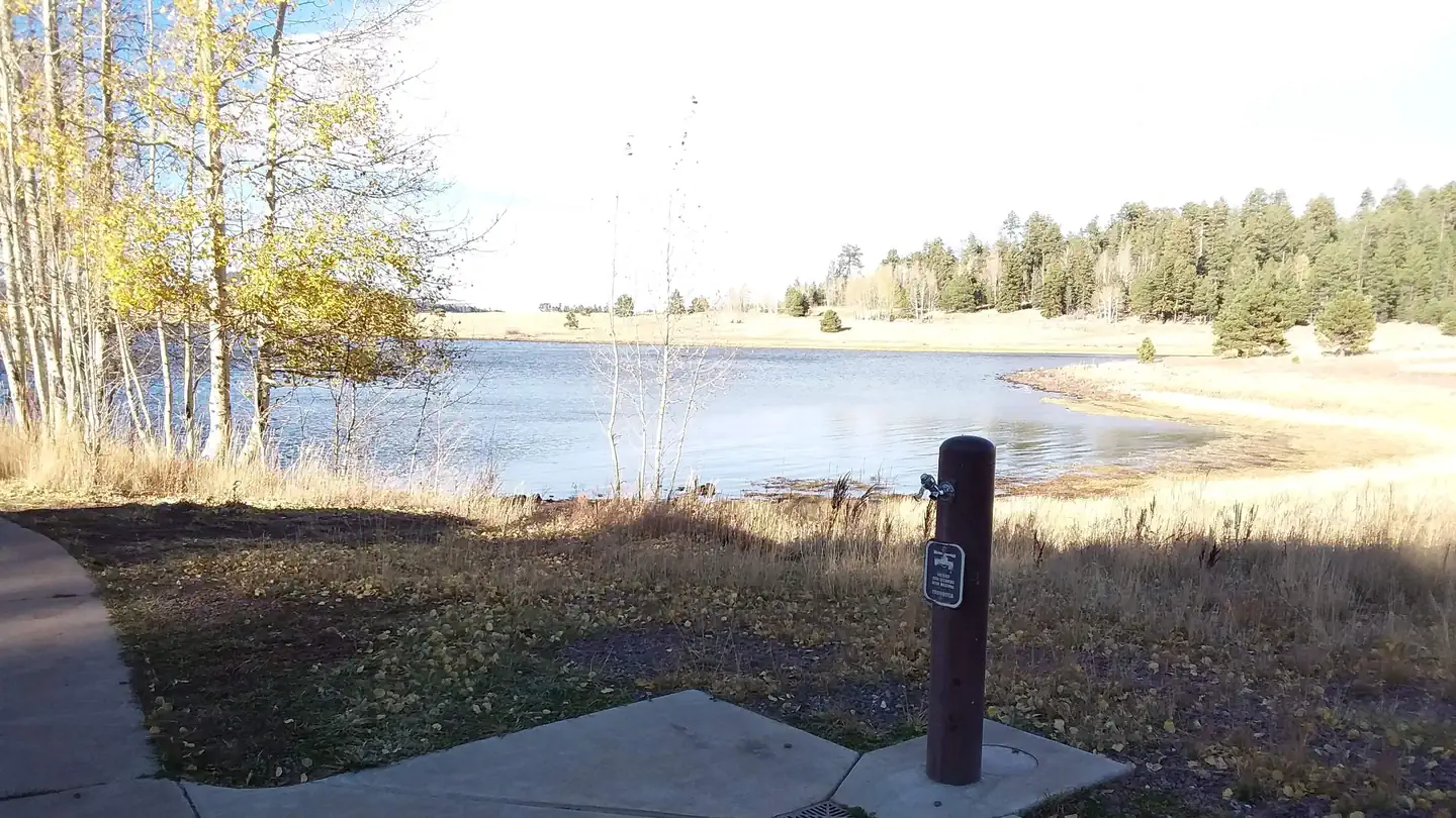
Grayling Campground offers perhaps the most secluded sites in the Big Lake Recreation Area in eastern Arizona. It sits on the shoreline of the lake in a mixed conifer and aspen forest and affords visitors many recreational opportunities in a quiet, scenic setting. Popular activities include trout fishing and hiking.Recreation
The campground is adjacent to 450-acre Big Lake, one of Arizona's top fishing lakes. The lake is known for its trout fishing, with rainbow, cutthroat, brook and Apache being the most sought-after species.The recreation area is also popular for hiking, mountain biking, birding and wildlife viewing. Curious campers can attend educational programs at the recreation area's visitor center.
Facilities
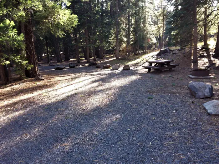
All 23 campsites in this small facility are located along one loop. Some sites have a view of the lake, though none are directly on the waterfront. Flush toilets are a comfort of home, and showers can be found one mile away.A dump station for RV campers is one mile away. A store is also nearby with gas, food, boat rentals and firewood for sale.
Natural Features
Grayling sits in the White Mountains at an elevation of 9,000 feet. It is a very scenic area, forested with ponderosa pine, Douglas fir, spruce and aspen trees, which provide ample shade. Summer temperatures are pleasant and cool, a nice respite from the heat of lower deserts. Visitors should come prepared for cool nighttime temperatures and occasional summer rain storms.Contact Info
For facility specific information, please call (928) 537-8888.Nearby Attractions
Visitors can explore endless vistas and take part in many outdoor activities in the surrounding Apache-Sitgreaves National Forest, which encompasses 2 million acres of magnificent mountain country in east-central Arizona and New Mexico. Springerville, Arizona is the closest town to the campground.The facts
- 21 bookable sites
- 24 sites in total, including non-bookable
- Vehicles up to 45 ft
- Up to 8 people per site
- Loops: GRAY, MANAGEMENT SITES
Site types
- 21 Standard Nonelectric
- 3 Management
Amenities
- Shade
- Pets allowed
Not recorded upstream: electric hookups, water hookups, sewer hookups, campfires allowed, fire pits, picnic tables, grills.
24 campsites at Grayling
| Site | Loop | Type | Entry | Surface | Max rig | People | |
|---|---|---|---|---|---|---|---|
| 002 | GRAY | Standard Nonelectric | Back In | Gravel | 35 ft | 8 | 🐾 |
| 003 | GRAY | Standard Nonelectric | Pull Through | Gravel | 45 ft | 8 | 🐾 |
| 004 | GRAY | Standard Nonelectric | Back In | Gravel | 35 ft | 8 | 🐾 |
| 005 | GRAY | Standard Nonelectric | Back In | Gravel | 35 ft | 8 | 🐾 |
| 006 | GRAY | Standard Nonelectric | Back In | Gravel | 30 ft | 8 | 🐾 |
| 007 | GRAY | Standard Nonelectric | Back In | Gravel | 30 ft | 8 | 🐾 |
| 008 | GRAY | Standard Nonelectric | Back In | Gravel | 35 ft | 8 | 🐾 |
| 009 | GRAY | Standard Nonelectric | Back In | Gravel | 30 ft | 8 | 🐾 |
| 010 | GRAY | Standard Nonelectric | Pull Through | Gravel | 20 ft | 8 | 🐾 |
| 011 | GRAY | Standard Nonelectric | Back In | Gravel | 35 ft | 8 | 🐾 |
| 012 | GRAY | Standard Nonelectric | Back In | Gravel | 25 ft | 8 | 🐾 |
| 014 | GRAY | Standard Nonelectric | Back In | Gravel | 40 ft | 8 | 🐾 |
| 015 | GRAY | Standard Nonelectric | Back In | Gravel | 40 ft | 8 | 🐾 |
| 016 | GRAY | Standard Nonelectric | Pull Through | Gravel | 40 ft | 8 | 🐾 |
| 017 | GRAY | Standard Nonelectric | Back In | Gravel | 45 ft | 8 | 🐾 |
| 018 | GRAY | Standard Nonelectric | Back In | Gravel | 30 ft | 8 | 🐾 |
| 019 | GRAY | Standard Nonelectric | Back In | Gravel | 45 ft | 8 | 🐾 |
| 020 | GRAY | Standard Nonelectric | Pull Through | Gravel | 40 ft | 8 | 🐾 |
| 021 | GRAY | Standard Nonelectric | Back In | Gravel | 35 ft | 8 | 🐾 |
| 022 | GRAY | Standard Nonelectric | Pull Through | Gravel | 40 ft | 8 | 🐾 |
| 023 | GRAY | Standard Nonelectric | Back In | Gravel | 25 ft | 8 | 🐾 |
| 001 | MANAGEMENT SITES | Management | — | — | — | — | |
| 013 | MANAGEMENT SITES | Management | — | — | — | — | |
| XXX | MANAGEMENT SITES | Management | Back In | Gravel | 35 ft | 8 |
Getting there
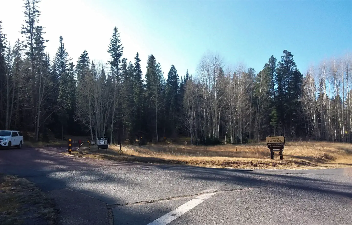
From Pinetop, Arizona, take Highway 260 east 25 miles to Highway 273 south. Follow Highway 273 south 19 miles to Forest Road 8115 (Big Lake Entrance). Turn right and travel 2 miles. Grayling is on the left.
33.87306, -109.41306 · 33°52'23.0"N 109°24'47.0"W
Typical weather
| Jan | Feb | Mar | Apr | May | Jun | Jul | Aug | Sep | Oct | Nov | Dec | |
|---|---|---|---|---|---|---|---|---|---|---|---|---|
| High °F | — | — | — | — | — | — | — | — | — | — | — | — |
| Low °F | — | — | — | — | — | — | — | — | — | — | — | — |
| Precip in | 2.8 | 2.5 | 2.0 | 1.1 | 0.8 | 0.5 | 3.8 | 4.0 | 2.1 | 1.9 | 2.2 | 2.8 |
1991–2020 averages from the nearest NOAA station, 4.2 mi away — not measured at the facility itself, and elevation can make a real difference over that distance.
Map
More photos
Member photos
Common questions about Grayling
- Can you reserve a site at Grayling?
- Yes, Grayling is reservable through Recreation.gov.
- How many campsites does Grayling have?
- 24 sites in total, of which 21 can be booked.
- What is the maximum RV length at Grayling?
- 45 ft. That is the longest vehicle the sites here are recorded as taking; individual sites may be shorter.
- Are pets allowed at Grayling?
- Yes, pets are allowed at Grayling.
Also listed by
Grayling also appears in other federal recreation data. Facts below are matched by name and location, not confirmed by Grayling's operator.
USDA Forest Service — data as of Aug 24, 2026
- Per vehicle per night $20.00 Additional Camp Unit fees collected at the campground. *Additional Camp Unit $20.00 Interagency/Senior Discount $10.00
Camping near Grayling
- Brookchar 0.2 mi · Campground · we watch it
- Cutthroat 0.3 mi · Campground · we watch it
- Apache Trout Campground 0.4 mi · Campground · we watch it
- Rainbow (Az) 0.6 mi · Campground · we watch it
- Big Lake Recreation Area 0.1 mi · Facility
- Big Lake Dam Parking Fishing Site 1.2 mi · Facility
- Buffalo Crossing Campground 6.5 mi · Campground
- Horse Springs Campground 7 mi · Campground
- Raccoon Campground 7 mi · Campground
- Deer Creek Campground 7.1 mi · Campground
- Aspen Campground - East Fork Black River 7.3 mi · Campground
- Diamond Rock Campground 7.5 mi · Campground
Contact
- Email camping@rrmofa.com
- Book Recreation.gov
Recreation.gov last updated this record on 2026-02-25.
Facility information and photographs from Recreation.gov (RIDB). SpotOpened is not affiliated with Recreation.gov or any federal agency.
Comments