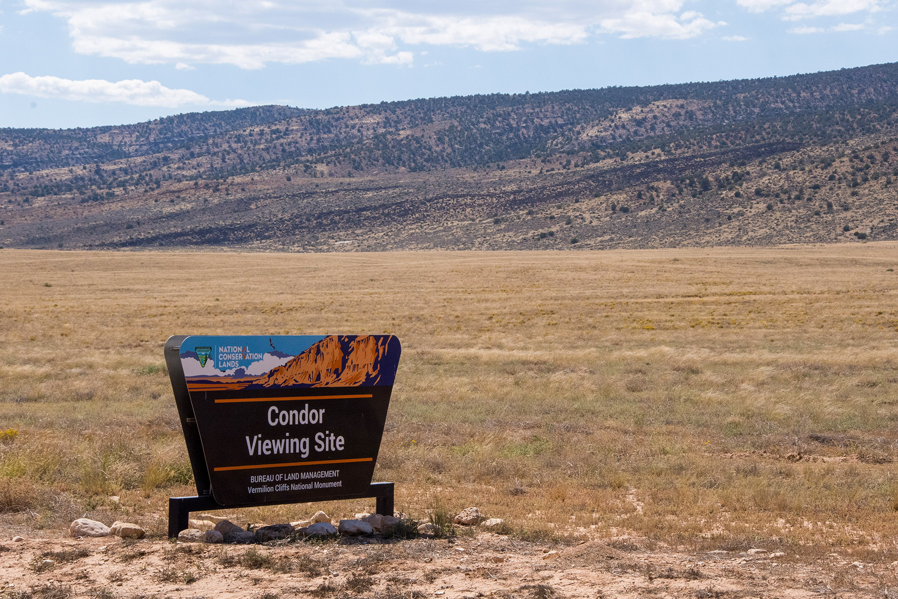
Condor Viewing Site
Facility · Arizona ·
Managed by the Bureau of Land Management
Arizona Strip Field Office (Bureau of Land Management AZ) · Open Access
- 5,469 ft
- Elevation
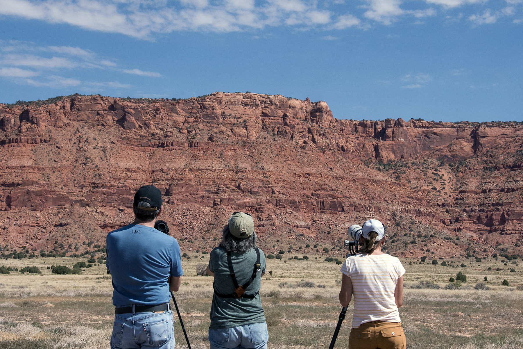
A number of California condors roost on top of the Vermilion Cliffs. This site offers visitors a chance to see these enormous, endangered birds in the wild.
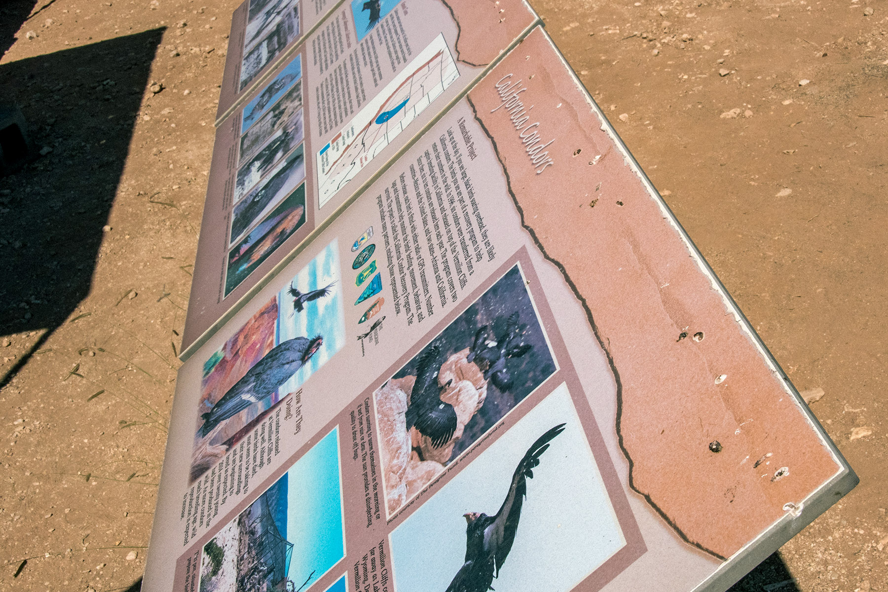
Viewing is best done with binoculars or a spotting scope. On-site facilities include interpretive panels, a view finder, picnic tables, a shade shelter, and one pit toilet.
From a low of 22 condors in 1982, over 200 California condors now live in the wild. The Peregrine Fund, in partnership with the Bureau of Land Management (BLM), has released condors from Vermilion Cliffs National Monument since 1996. The first California condor release was on December 12, 1996.
Getting there
The Condor Viewing Site is located along the House Rock Valley Road (BLM 1065 in Arizona and BLM 700 in Utah). This road is unpaved and minimally maintained. Most of the time, two-wheel-drive, high-clearance vehicles can travel the road. However, four-wheel-drive, high-clearance vehicles may be required when the road is wet. During periods of rain and the winter months the road may become impassable for all vehicles, even those with four-wheel-drive.
To get to House Rock Valley Road from Kanab, Utah, take Highway 89 east for 38 miles. The approximate distance from Fredonia to the Condor Viewing Site is 46 miles with a drive time of 1 hour. Travel south from the Kanab-Fredonia area on US Highway 89A towards Jacob Lake. Continue on 89A past the Jacob Lake junction. After the highway descends from the forested plateau to the desert valley floor through a series of switchbacks, turn left onto House Rock Valley Road (BLM 1065). Continue three miles north to the Condor Viewing Site.
From Page, Arizona, take Highway 89 west for 36 miles. The south end of House Rock Valley Road intersects Highway 89A 13.5 miles east of Jacob Lake, Arizona. The approximate distance from Page to the Condor Viewing Site is 68 miles with a drive time of 1 hour and 15 minutes. Travel south from the Page area on US Highway 89. At the bottom of a long and steep dugway turn right onto US Highway 89A and continue north then west toward Jacob Lake. After a long straight section the highway approaches a rising plateau. Turn right onto House Rock Valley Road (BLM 1065) near the base of the plateau and continue three miles north to the Condor Viewing Site.
The site is located on the east side of House Rock Valley Road (BLM 1065) by traveling either north from Highway 89A for about 3 miles, or south from Highway 89 for about 27 miles.
36.77092, -112.05645 · 36°46'15.3"N 112°3'23.2"W
Typical weather
Typically 96°F in Jul, down to 46°F in Dec.
| Jan | Feb | Mar | Apr | May | Jun | Jul | Aug | Sep | Oct | Nov | Dec | |
|---|---|---|---|---|---|---|---|---|---|---|---|---|
| High °F | 46 | 52 | 61 | 69 | 79 | 91 | 96 | 94 | 86 | 72 | 57 | 46 |
| Low °F | 22 | 27 | 33 | 39 | 48 | 58 | 65 | 63 | 53 | 41 | 29 | 21 |
| Precip in | 1.0 | 1.0 | 0.8 | 0.6 | 0.6 | 0.3 | 0.7 | 1.2 | 1.2 | 1.3 | 0.7 | 0.8 |
1991–2020 averages from the nearest NOAA station, 24.6 mi away — not measured at the facility itself, and elevation can make a real difference over that distance.
Map
Fees and stay limits
None
From Recreation.gov, which is not always current. The operator's own page is the authority on what you will be charged.
More photos
Member photos
Common questions about Condor Viewing Site
- Can you reserve a site at Condor Viewing Site?
- No. Condor Viewing Site is not reservable through Recreation.gov, so sites are first-come, first-served or booked elsewhere.
Camping near Condor Viewing Site
- Jacob Lake Recreation Area 9.8 mi · Campground · we watch it
- Paria Canyon Overnight Permit 14.4 mi · Permit · we watch it
- Big Springs Cabin Site 20 mi · Campground · we watch it
- White House Campground 23.2 mi · Campground · we watch it
- West Bench Pueblo 5.3 mi · Facility
- Dominguez-Escalante Site 9.6 mi · Facility
- Jacob Lake Group Campground & Picnic Site 9.7 mi · Campground
- White Pocket Trailhead 15.6 mi · Facility
- Stateline Campground 16 mi · Campground
- Paria Canyon-Vermilion Cliffs Wilderness Area 19.5 mi · Facility
- Big Springs Cabins 20 mi · Facility
- Paria Contact Station 24.6 mi · Facility
Contact
- Phone 435-688-3200
- Email blm_az_asdoweb@blm.gov
- Info Recreation.gov
Recreation.gov last updated this record on 2026-03-13.
Facility information and photographs from Recreation.gov (RIDB). SpotOpened is not affiliated with Recreation.gov or any federal agency.
Comments