Highway 7 Recreation Area
Campground · Arkansas · 1 bookable site ·
Managed by the US Army Corps of Engineers
- 1
- Bookable site
- up to 50
- People per site
- 1
- Accessible site
- 419 ft
- Elevation
Overview
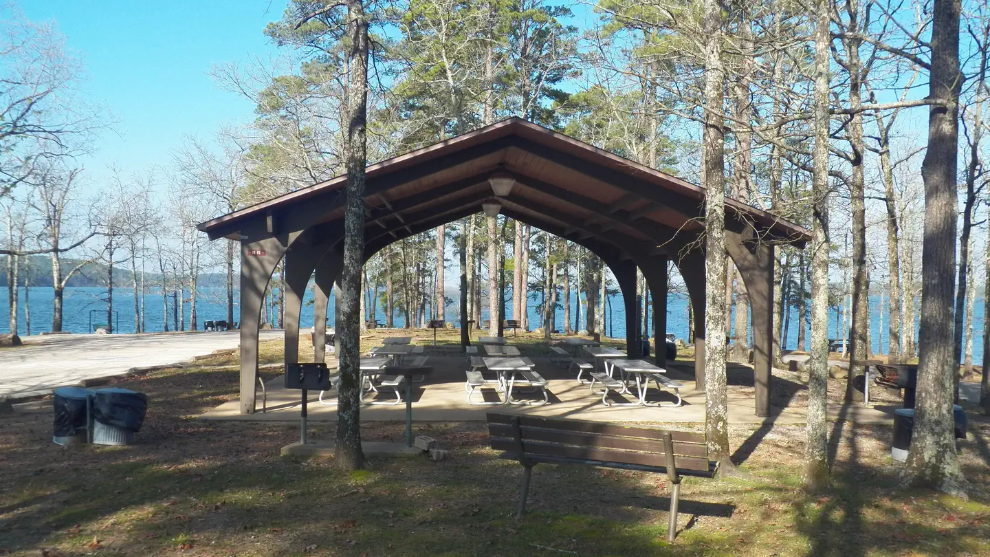
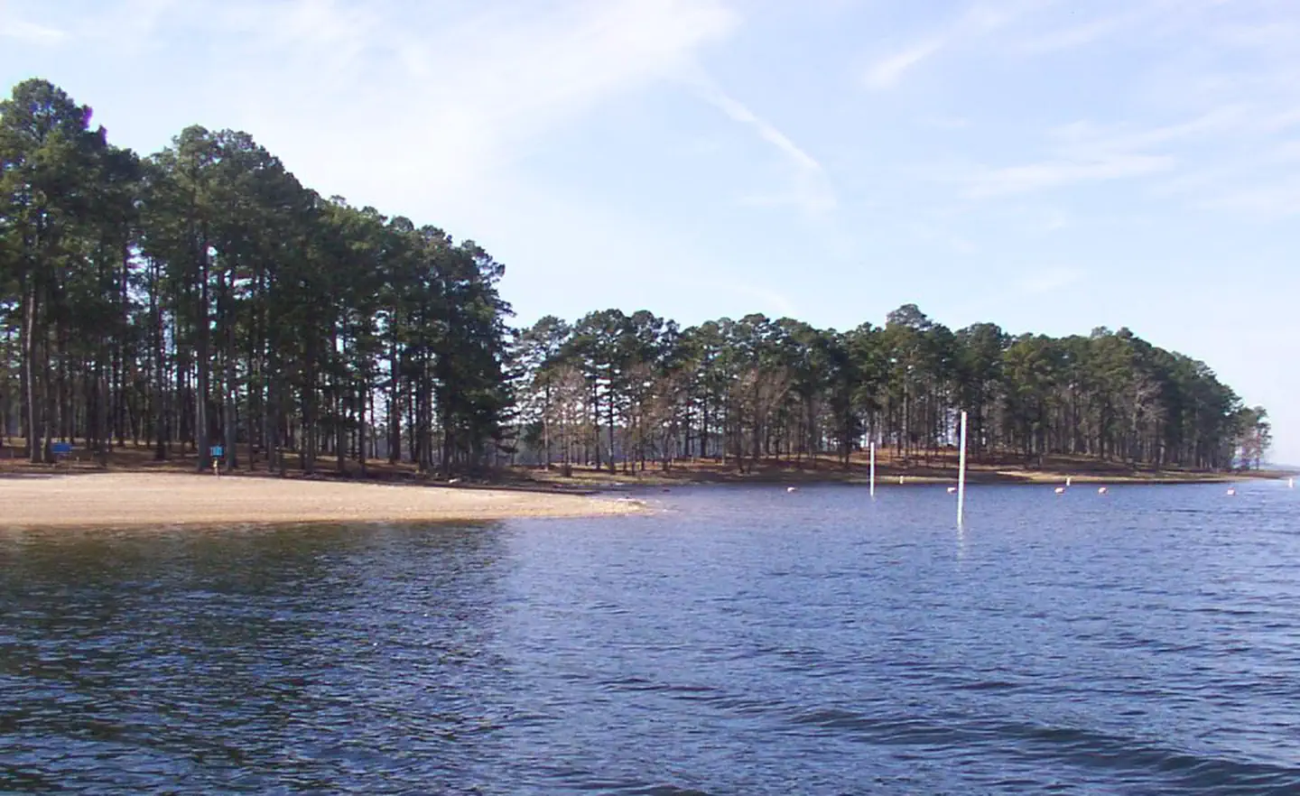
Highway 7 is a small, popular scenic area adjacent to State Highway 7. A narrow wooded land spur provides the facilities and ennvironment picnickers enjoy throughout the warm and mild season. A group shelter is located inside the loop turn-around at the extreme west end of the area. The open and gradually sloping land near State Highway 7 provides two beach areas where visitors find relief from high summer temperatures.
Recreation
DeGray Lake hosts thousands of professional fishing tournaments, triathlons and it is one of the most popular swimming destinations in the region. The area is also ideal for boating and jet skiing.
Facilities
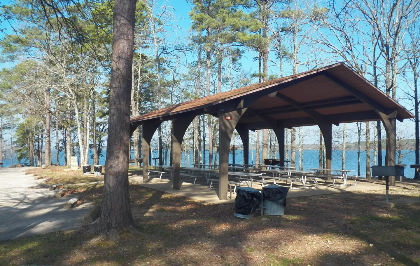
Hwy 7 Recreation Area is a day use area that features two swim beaches, playground, two restrooms, numerous picnic areas, and a reservation group use pavilion.
To see USACE DeGray Lake Virtual Tour,click here
Natural Features
The pavilion is located at the end of a tree-covered peninsula. Highway 7 Recreation Area is known for the many black squirrels that call it home. Degray Lake encompasses 13,500 water acres, with 207 miles of shoreline and an average depth of 47 feet.
Nearby Attractions
The DeGray Lake State Resort Park lies on the northern shores of the lake, and kayaking tours, golf, tennis courts and a horseback riding trail are available.
The facts
- 1 bookable site
- 1 site for day use only
- 1 accessible site
- Up to 50 people per site
- Loops: 1
Site types
- 1 Group Shelter Electric
Amenities
- Electric hookups
- Water hookups
- Picnic tables
- Grills
- Shade
- Pets allowed
- Campfires allowed — not available
Not recorded upstream: sewer hookups, fire pits.
1 campsite at Highway 7 Recreation Area
Check-in 8:00 AM · Check-out 10:00 PM
| Site | Loop | Type | Entry | Surface | Water | Max rig | People | |
|---|---|---|---|---|---|---|---|---|
| Highway 7 Pavilion | 1 | Group Shelter Electric | — | — | Lakefront | — | 50 | ♿ 🐾 |
Getting there
From Interstate 30 take exit 78. Merge onto State Highway 7 north for 4 miles. Turn left into Highway 7 Recreation Area and proceed to the end of the road.
34.23643, -93.10936 · 34°14'11.1"N 93°6'33.7"W
Typical weather
Typically 91°F in Aug, down to 50°F in Jan.
| Jan | Feb | Mar | Apr | May | Jun | Jul | Aug | Sep | Oct | Nov | Dec | |
|---|---|---|---|---|---|---|---|---|---|---|---|---|
| High °F | 50 | 55 | 63 | 72 | 79 | 87 | 91 | 91 | 85 | 74 | 61 | 53 |
| Low °F | 30 | 33 | 41 | 49 | 59 | 67 | 71 | 69 | 62 | 51 | 40 | 33 |
| Precip in | 4.0 | 4.5 | 5.3 | 5.6 | 6.2 | 4.3 | 4.8 | 4.1 | 4.1 | 4.8 | 5.1 | 5.2 |
1991–2020 averages from the nearest NOAA station, 2.5 mi away — not measured at the facility itself, and elevation can make a real difference over that distance.
Map
More photos
Member photos
Common questions about Highway 7 Recreation Area
- Can you reserve a site at Highway 7 Recreation Area?
- Yes, Highway 7 Recreation Area is reservable through Recreation.gov.
- How many campsites does Highway 7 Recreation Area have?
- 1 site.
- Are pets allowed at Highway 7 Recreation Area?
- Yes, pets are allowed at Highway 7 Recreation Area.
- Does Highway 7 Recreation Area have hookups?
- Electric, Water.
- Are campfires allowed at Highway 7 Recreation Area?
- Campfires are not allowed at Highway 7 Recreation Area.
Camping near Highway 7 Recreation Area
- Iron Mountain 1.2 mi · Campground · we watch it
- Lower Lake Recreation Area 4.1 mi · Campground · we watch it
- Edgewood 4.5 mi · Campground · we watch it
- Caddo Drive Day Use 4.7 mi · Campground · we watch it
- Caddo Drive 4.8 mi · Campground · we watch it
- Arlie Moore Day Use 5.6 mi · Campground · we watch it
- Arlie Moore 5.9 mi · Campground · we watch it
- Oak Bower Group Use Area 6.4 mi · Campground · we watch it
- Alpine Ridge 7 mi · Campground · we watch it
- Shouse Ford 9.8 mi · Campground · we watch it
- Gulpha Gorge Campground 20.3 mi · Campground · we watch it
- Mid America Science Museum 19.4 mi · Facility
Contact
- Phone 870-246-5501
- Email degray.lake@usace.army.mil
- Book Recreation.gov
Recreation.gov last updated this record on 2026-03-11.
Facility information and photographs from Recreation.gov (RIDB). SpotOpened is not affiliated with Recreation.gov or any federal agency.
Comments