Izembek Wilderness
Facility · Alaska ·
Managed by the Fish and Wildlife Service
- 86 ft
- Elevation
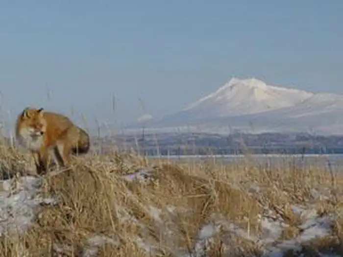
The Izembek Wilderness now contains a total of 307,982 acres and is managed by the Fish & Wildlife Service's Izembek National Wildlife Refuge. All of the Wilderness is in the state of Alaska. In 1980 the Izembek Wilderness became part of the now over 110 million acre National Wilderness Preservation System.
On the tip of the Alaska Peninsula, 320,893-acre Izembek National Wildlife Refuge sees a quarter-million migratory birds land every fall, including the entire world's population of black brants and thousands of Canada and emperor geese, ducks, and shorebirds. Izembek Lagoon (5 by 30 miles) contains one of the largest eelgrass beds in the world, providing food and shelter for migratory birds. Tundra swans live on the refuge year-round. Gray, minke, and killer whales migrate along the coast by the thousands. Sea otters are the most common inhabitants of the lagoon. Hundreds of thousands of salmon begin and end their life cycles on the refuge. The brown bear habitat is unparalleled, and caribou wander through in herds. Smoking volcanoes and glaciated mountains tower over lakes and meandering rivers that drain into lagoons opening on the Bering Sea. The castlelike Aghileen Pinnacles form a portion of the boundary between Izembek and the Alaska Peninsula National Wildlife Refuge. Hunting and fishing draw many visitors. No maintained trails exist, and the terrain can be rugged. All of the refuge has been designated Wilderness, except the land along a gravel road system and several private inholdings.
Getting there
Refuge headquarters is located in Cold Bay, Alaska. This is a small, remote, community of fewer than 100 people, and is accessible only by air or water. The Alaska Marine Ferry System serves Cold Bay with one ship per month from April through October. Peninsula Airways (PenAir) serves Cold Bay with daily round-trip flights from Anchorage.
From Cold Bay, there is limited vehicle access to the Refuge via 5 primary gravel or dirt roads, totaling about 40 miles (portions of these require 4-wheel drive). Aircraft or boats are required for access elsewhere within the refuge. PenAir will fly visitors to remote villages. Off-airport air taxi operators and boat charters are limited. Contact the Refuge for the latest information.
The refuge administrative office is located approximately one-half mile northeast of the Cold Bay airport terminal. Modest rental vehicles are available from a local entrepreneur. A small grocery store, motel, lodge and a couple B&B's are open year round.
55.20450, -162.71839 · 55°12'16.2"N 162°43'6.2"W
Typical weather
Typically 57°F in Aug, down to 33°F in Jan.
| Jan | Feb | Mar | Apr | May | Jun | Jul | Aug | Sep | Oct | Nov | Dec | |
|---|---|---|---|---|---|---|---|---|---|---|---|---|
| High °F | 33 | 35 | 35 | 40 | 47 | 52 | 56 | 57 | 53 | 47 | 40 | 36 |
| Low °F | 24 | 26 | 24 | 30 | 36 | 42 | 47 | 48 | 43 | 36 | 31 | 26 |
| Precip in | 3.4 | 3.2 | 3.0 | 2.7 | 2.6 | 2.7 | 2.5 | 3.7 | 4.5 | 4.9 | 5.0 | 4.4 |
1991–2020 averages from the nearest NOAA station, 1.3 mi away — not measured at the facility itself, and elevation can make a real difference over that distance.
Map
Member photos
Common questions about Izembek Wilderness
- Can you reserve a site at Izembek Wilderness?
- No. Izembek Wilderness is not reservable through Recreation.gov, so sites are first-come, first-served or booked elsewhere.
Camping near Izembek Wilderness
- Unimak Wilderness 59.5 mi · Facility
Contact
- Phone 877-837-6332 or 907-532-2445
- Email izembek@fws.gov
- Info Recreation.gov
Recreation.gov last updated this record on 2026-02-25.
Facility information and photographs from Recreation.gov (RIDB). SpotOpened is not affiliated with Recreation.gov or any federal agency.
Comments