Chitina Ranger Station
Facility · Alaska ·
Managed by the National Park Service
Chitina Alaska Native Village Statistical Area (E1)
- 581 ft
- Elevation
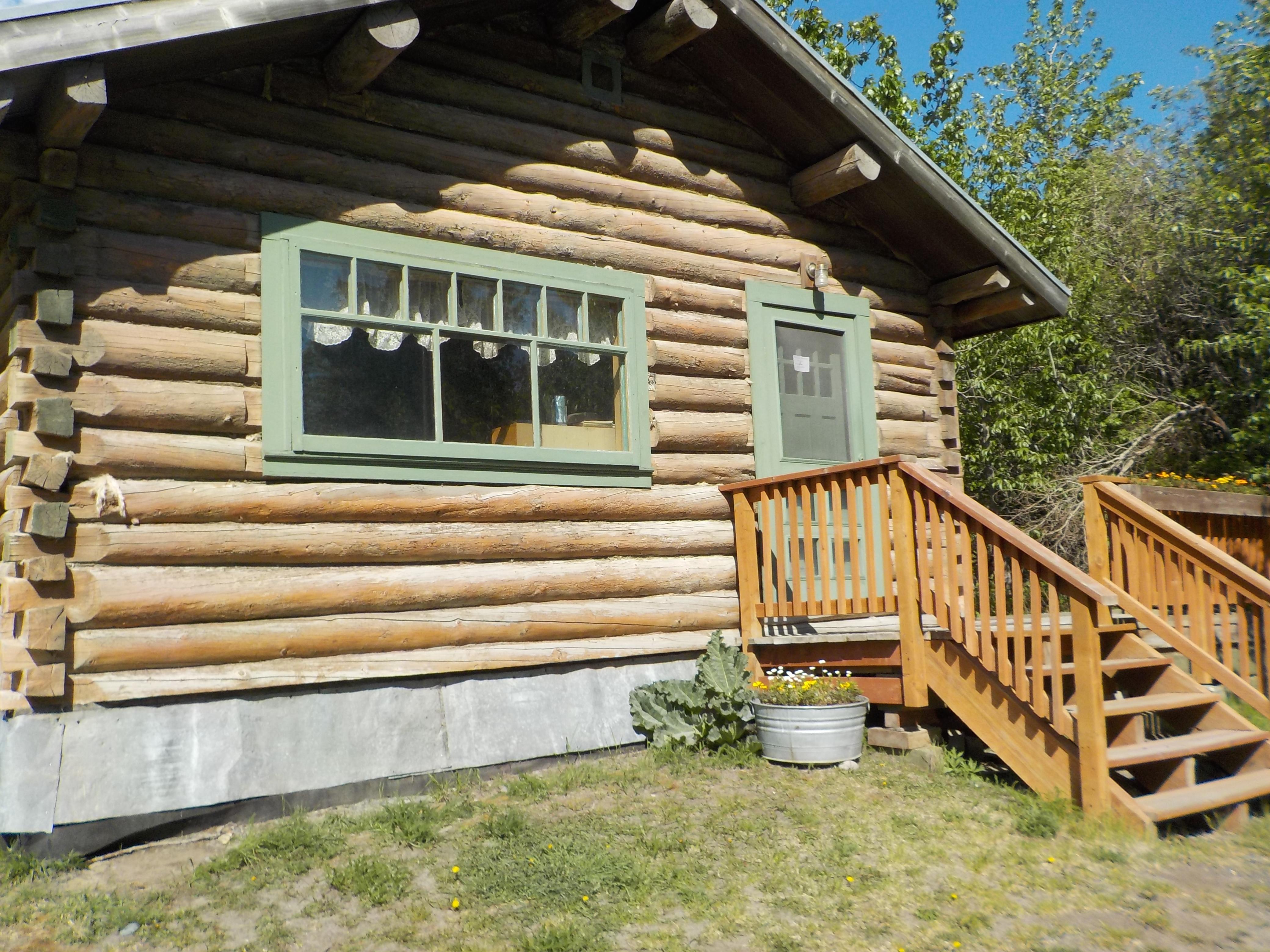
Located in downtown Chitina at mile 33 on the Edgerton Highway. Upon entering Chitina town southbound, turn left at the Chitina Hotel, drive down the gravel road 0.2 mile (300 meters), station on left. The light brown historical log cabin with mint green trim is the Chitina Ranger Station.
Getting there
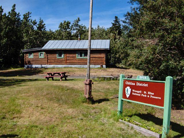
The Chitina Ranger Station is 58 miles away from the Copper Center Visitor Center, located in the town of Chitina, behind the State of Alaska Wayside (vault toilet and interpretive panels). Located in downtown Chitina at mile 33 on the Edgerton Highway. Upon entering Chitina town southbound, turn left at the Chitina Hotel, drive down the gravel road 0.2 mile (300 meters), station on left. The light brown historical log cabin has mint green trim. Look for the flagpole in front of the building.
61.51595, -144.43823 · 61°30'57.4"N 144°26'17.6"W
Typical weather
Typically 70°F in Jul, down to 5°F in Jan.
| Jan | Feb | Mar | Apr | May | Jun | Jul | Aug | Sep | Oct | Nov | Dec | |
|---|---|---|---|---|---|---|---|---|---|---|---|---|
| High °F | 5 | 20 | 31 | 46 | 58 | 67 | 70 | 67 | 55 | 40 | 18 | 10 |
| Low °F | -11 | -4 | 1 | 19 | 31 | 41 | 45 | 42 | 33 | 21 | 1 | -7 |
| Precip in | 0.8 | 0.8 | 0.4 | 0.1 | 0.8 | 0.8 | 2.0 | 2.2 | 2.1 | 1.4 | 1.5 | 1.4 |
1991–2020 averages from the nearest NOAA station, 8.1 mi away — not measured at the facility itself, and elevation can make a real difference over that distance.
Map
More photos
Member photos
Common questions about Chitina Ranger Station
- Can you reserve a site at Chitina Ranger Station?
- No. Chitina Ranger Station is not reservable through Recreation.gov, so sites are first-come, first-served or booked elsewhere.
Camping near Chitina Ranger Station
- Childs Glacier Recreation Area and Campground 59.8 mi · Campground · we watch it
- Wrangell-St. Elias Visitor Center in Copper Center 46.1 mi · Facility
Contact
- Phone (907) 823-2205
- Email wrst_info@nps.gov
- Info Recreation.gov
Recreation.gov last updated this record on 2026-02-25.
Facility information and photographs from Recreation.gov (RIDB). SpotOpened is not affiliated with Recreation.gov or any federal agency.
Comments