Chamisso Wilderness
Facility · Alaska ·
Managed by the Fish and Wildlife Service
Alaska Maritime National Wildlife Refuge (NWR) · Restricted Access
- 201 ft
- Elevation
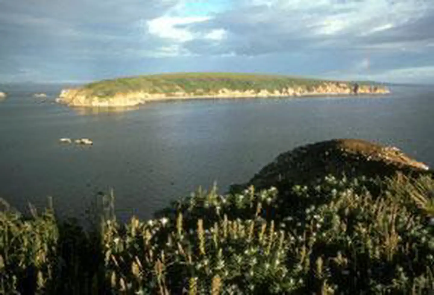
The Chamisso Wilderness now contains a total of 455 acres and is managed by the Fish & Wildlife Service's Alaska Maritime National Wildlife Refuge. All of the Wilderness is in the state of Alaska. In 1975 the Chamisso Wilderness became part of the now over 110 million acre National Wilderness Preservation System.
Northernmost of five units of the Alaska Maritime National Wildlife Refuge, the Chukchi Sea Unit contains about 200,000 acres on and off of 500 miles of Alaska's northwestern coast. A small subunit of the Chukchi Sea Unit, Chamisso Island and nearby Puffin Island, were combined as a wildlife refuge in 1912, designated Wilderness in 1975, and added to the AMNWR in 1980.
Chamisso has one large sand spit and a low beach zone surrounding a covering of tundra with a few marshy bogs. Although Chamisso Island is much larger, Puffin Island houses many more nesting birds, especially horned puffins, black-legged kittiwakes, and thick-billed murres who build their nests on the steep-walled cliffs that fall into Spafarief Bay. An unusual sight is horned puffins digging burrows in which to lay their eggs, much like tufted puffins do. Eskimos still cross from the mainland to gather eggs, primarily from kittiwakes and murres.
Nothing lives on the islands except for birds and the occasional fox that wanders over on the frozen sea in winter. Walruses, seals, and whales often may be seen in Spafarief Bay. Boating is dangerous due to frequent storms that blow in during cool summers and frigid winters. Daylight never leaves in mid-June and appears briefly as twilight in mid-December.
Getting there
See the Wilderness.net map for the location of the Chamisso Wilderness area.
For those not ready to set sail, the Alaska Islands & Ocean Visitor Center and Refuge headquarter at 95 Sterling Highway # 1, in Homer, Alaska, can be reached by vehicle and scheduled aircraft from Anchorage (225 miles).
66.21849, -161.82090 · 66°13'6.5"N 161°49'15.2"W
Typical weather
Typically 62°F in Jul, down to 4°F in Jan.
| Jan | Feb | Mar | Apr | May | Jun | Jul | Aug | Sep | Oct | Nov | Dec | |
|---|---|---|---|---|---|---|---|---|---|---|---|---|
| High °F | 4 | 9 | 8 | 22 | 40 | 56 | 62 | 57 | 48 | 34 | 21 | 10 |
| Low °F | -12 | -8 | -8 | 7 | 26 | 38 | 45 | 42 | 34 | 21 | 5 | -6 |
| Precip in | — | — | — | — | — | — | — | — | — | — | — | — |
1991–2020 averages from the nearest NOAA station, 28.3 mi away — not measured at the facility itself, and elevation can make a real difference over that distance.
Map
Member photos
Common questions about Chamisso Wilderness
- Can you reserve a site at Chamisso Wilderness?
- No. Chamisso Wilderness is not reservable through Recreation.gov, so sites are first-come, first-served or booked elsewhere.
Camping near Chamisso Wilderness
- Northwest Arctic Heritage Center 51.3 mi · Facility
- Northwest Arctic Heritage Center 51.3 mi · Facility
- Northwest Arctic Heritage Center 51.3 mi · Facility
- Selawik Wilderness 51.5 mi · Facility
Contact
- Phone 907-235-6546
- Email alaskamaritime@fws.gov
- Info Recreation.gov
Recreation.gov last updated this record on 2026-02-25.
Facility information and photographs from Recreation.gov (RIDB). SpotOpened is not affiliated with Recreation.gov or any federal agency.
Comments