Bogoslof Wilderness
Facility · Alaska ·
Managed by the Fish and Wildlife Service
Alaska Maritime National Wildlife Refuge (NWR) · Restricted Access
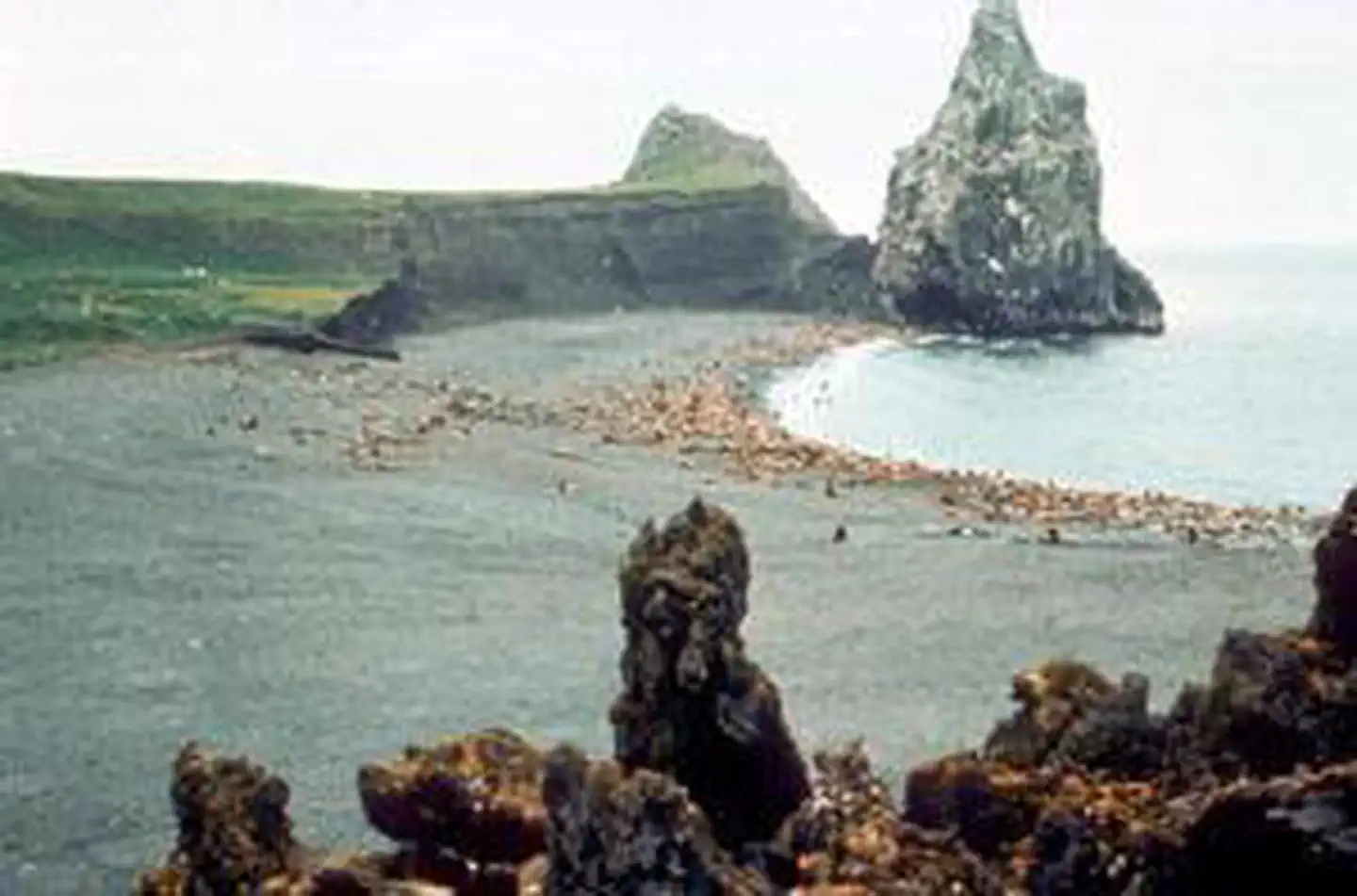
The Bogoslof Wilderness now contains a total of 175 acres and is managed by the Fish & Wildlife Service. All of the Wilderness is in the state of Alaska. In 1970 the Bogoslof Wilderness became part of the now over 110 million acre National Wilderness Preservation System. Aleuts believed that they heard the "voice of God" (bogoslof) as a fiery eruption lifted Bogoslof Island from the cold Bering Sea around 1796. Bogoslof and little Fire Island (about five acres) became Wilderness in 1970 and a subunit of the Aleutian Islands Unit of the Alaska Maritime National Wildlife Refuge in 1980. An active volcanic island, Bogoslof has undergone change as recently as 1993. A single rugged spire, Castle Rock, stands above the island's rocky beaches and black lava. Vegetation on this domed and treeless isle is typical of the Aleutians: grasses, sedges, heath. As many as 90,000 murres, kittiwakes, puffins, and gulls nest here. A rookery of fur seals has grown in size, while a sea lion rookery that peaked with about 5,000 individuals has shrunk.
Getting there
Click here to see where the Bogolof Wilderness is on a map.
North of Unalaska Island, Bogoslof is difficult to access and rarely seen except over the gunwales of passing fishing boats. Winds blow almost constantly during cool foggy summers and mild foggy winters. Although the Bering Sea does not freeze here, storms come often and remain long, violently hurling wind and waves against the barren shoreline. The few boats that do arrive find no anchorages, coming only at risk and with special permission of the refuge manager for scientific or educational purposes.
53.93220, -168.03907 · 53°55'55.9"N 168°2'20.7"W
Typical weather
Typically 59°F in Aug, down to 37°F in Jan.
| Jan | Feb | Mar | Apr | May | Jun | Jul | Aug | Sep | Oct | Nov | Dec | |
|---|---|---|---|---|---|---|---|---|---|---|---|---|
| High °F | 37 | 39 | 39 | 42 | 47 | 52 | 57 | 59 | 55 | 48 | 43 | 39 |
| Low °F | 29 | 29 | 29 | 33 | 37 | 42 | 47 | 48 | 44 | 38 | 33 | 31 |
| Precip in | 6.8 | 5.2 | 4.7 | 3.5 | 4.2 | 2.5 | 2.3 | 2.9 | 5.7 | 7.9 | 6.7 | 7.9 |
1991–2020 averages from the nearest NOAA station, 60.9 mi away — not measured at the facility itself, and elevation can make a real difference over that distance.
Map
Member photos
Common questions about Bogoslof Wilderness
- Can you reserve a site at Bogoslof Wilderness?
- No. Bogoslof Wilderness is not reservable through Recreation.gov, so sites are first-come, first-served or booked elsewhere.
Contact
- Phone 907-235-6546
- Email alaskamaritime@fws.gov
- Info Recreation.gov
Recreation.gov last updated this record on 2026-02-25.
Facility information and photographs from Recreation.gov (RIDB). SpotOpened is not affiliated with Recreation.gov or any federal agency.
Comments